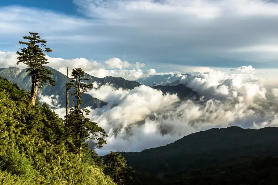
A saddle between the main and east peaks of Hehuanshan (合歡山) in Ren’ai, Nantou, which at 3,275 meters is the highest point on Taiwan’s road network. The Japanese colonial authorities completed a road over it in 1934, then the highest in the Japanese empire, and named the pass Sakumatōge (佐久間峠) after Governor-General Sakuma Samata, who had led troops this way during the Truku War (太魯閣戰爭) of 1914. Now on Provincial Highway 14A at the western edge of Taroko National Park, it was briefly known as Nanling (南嶺) after the war until Chiang Kai-shek renamed it after a place in his hometown.
Map
Details
- Status:Public (公有)
- Coordinates:
Links
- Wikipedia in Chinese (中文維基百科)
Themes
- Japanese Colonial Era Taiwan (台灣日治時代)
- Tourist Attractions in Taiwan (台灣旅遊景點)
- Road Transportation in Taiwan (臺灣道路建設)
Backlinks
Nearby Locations
Similar Content
Show more
Author

I am a web application developer, photojournalist, urban explorer, and history enthusiast passionate about the open web and documenting my experiences on this planet. This project was founded in the early 2010s and has evolved into a sort of personal Wikipedia of places that interest me (and often the photographs I’ve taken there). I’m originally from Toronto, Canada, but spend most of my time residing in Taiwan.