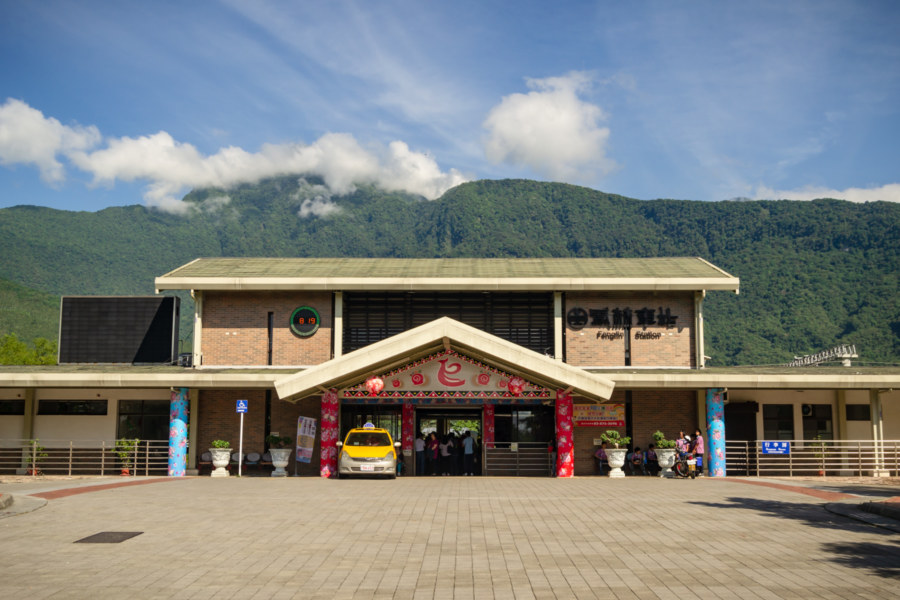
Day three of cycling down the Huādōng Valley 花東縱谷 began with a hearty Taiwanese breakfast not far from the train station in Fenglin, Hualien. I was still recovering from a brush with heatstroke (a story documented in the previous entry in this series) so a traditional breakfast of dànbǐng 蛋餅 (pan-fried egg rolls) and sweet black tea really hit the spot. A glance at the weather forecast indicated another full day of sunny skies and 35°C temperatures on the road—and even fewer opportunities for air-conditioned rest stops. I wasn’t too worried though; my loosely-planned itinerary of former Shinto shrines, industrial ruins, and other historic sites didn’t look all that challenging. Ultimately I ended up putting 60 kilometers of valley behind me, ending the day in Yuli.
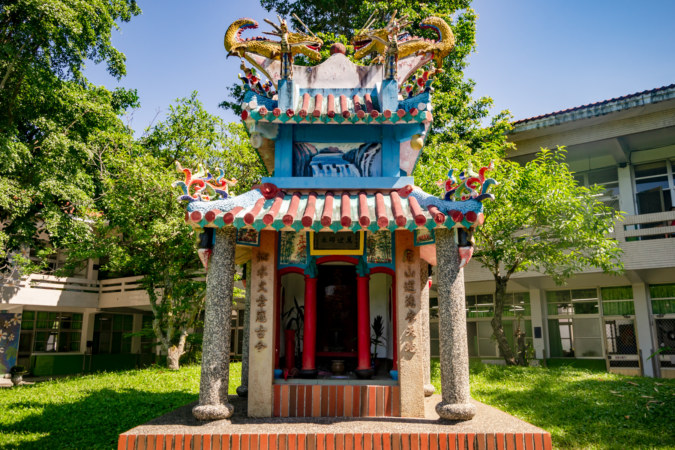
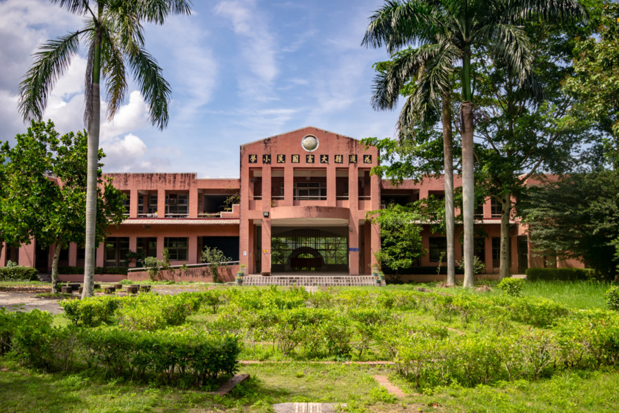
Before leaving town I made a brief stop at Fenglin Elementary School 鳳林國小, founded in the midst of the Japanese colonial era in 1920. The advent of the Kōminka Movement in the late 1930s ushered in a new stage of Japanization, and the school elected to construct a hō-an-den (Chinese: fèng’āndiàn 奉安殿), a small pavilion designed to safely house a copy of the Imperial Rescript on Education and a photograph of the emperor and empress1. Back in the day it would have been customary for students to bow before this shrine while filing into class, and at least once a year a ceremony would be held where the text of the rescript would be recited. In 1950, only a few years after the Japanese surrender and expulsion from Taiwan, the original pavilion was destroyed and converted into a Confucius Temple 孔廟, apparently the only one on school grounds in all of Hualien County. The tradition of an annual ceremony at this shrine continues in the form of an event honoring Teacher’s Day, the birthday of Confucius, every September 28th.
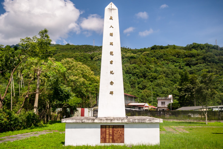
Crossing the Wànlǐ River 萬里溪 on Provincial Highway 9, I soon passed a gleaming white obelisk, the Righteous Zhōng Ruìlóng Monument 義人鍾瑞龍君紀念碑. This monument commemorates the heroic acts of a young forestry bureau worker who perished saving several people from a flood after Typhoon Nora 颱風娜拉 struck in 1973. Since he had no children, the townspeople decided to honor his sacrifice with a modest stone stelae, erected the year after the disaster. When the highway was widened the old monument had to be moved—and the local government opted to fund the construction of a new monument, seen here. Apparently the old stone stelae can still be found nearby, but I didn’t notice it as I continued south under the increasingly hostile sun.
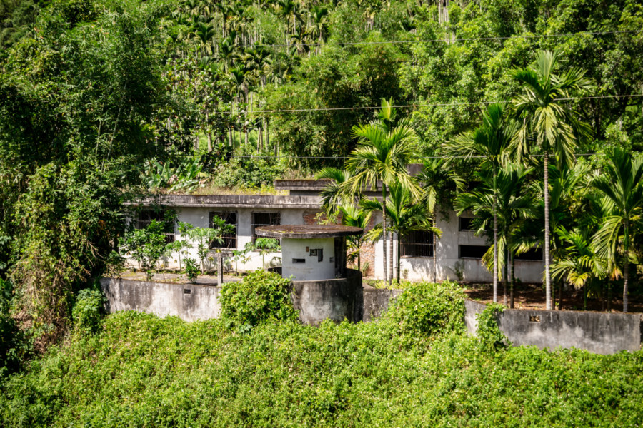
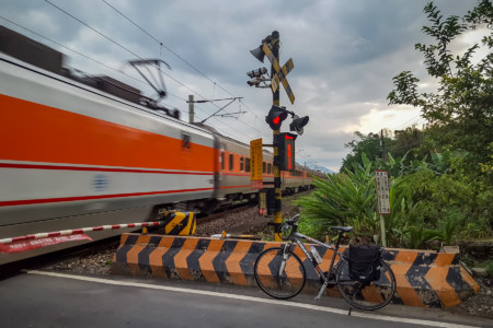
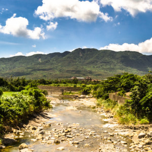
I soon crossed the Mǎ’ān River 馬鞍溪 and entered Guangfu. On the north bank of the river the railway line descends into Guangfu Tunnel 光復隧道, completed in 1981 to alleviate engineering problems related to the river’s unusually high sediment load2. Overlooking the southern exit of the railway tunnel is one of many abandoned military bases of the 301st Bridges and Tunnels Division 東警部301橋隧連 under the Taiwan Garrison Command 臺灣警備總司令部, a secret police force abolished in 1992. The ruins of such former sentry posts can be found at strategic locations all along the Huadong Valley but this is one of the most complete3.
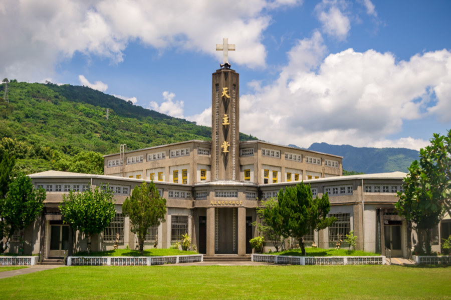
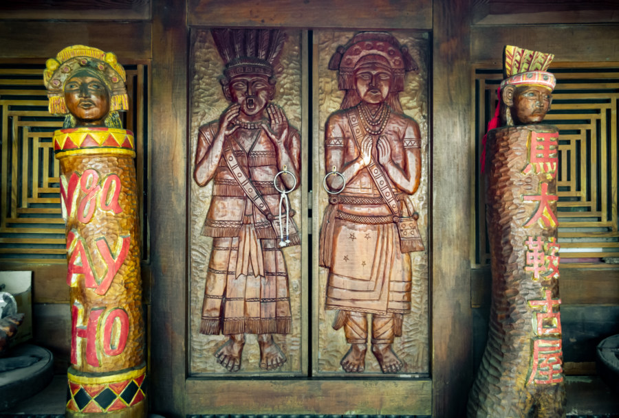
Guangfu4 encompasses two villages of vital importance to the Amis People 阿美族: Fata’an 馬太鞍, which is located just east of the eponymous Guangfu Station 光復車站, and Tafalong 太巴塱, situated on the east side of the valley. Both settlements have gone to some lengths to preserve traditional Amis culture, but I was mostly unaware of this while riding around town (and would love to return some day to learn more). Somewhere on the north side of town I stopped to check out the Matai’an Old House 馬太鞍古屋, a wooden structure originally built in 19295. Tours appear to be available, but only by appointment. Aside from that, it was impossible to miss the Matai’an Church of the Conversion of St. Paul 馬太鞍聖保祿歸化堂, a testament to the prevalence of Christianity among the majority Indigenous population of the area. Only around 1% of Taiwanese are Catholic adherents but here in Hualien County that figure exceeds 10%.
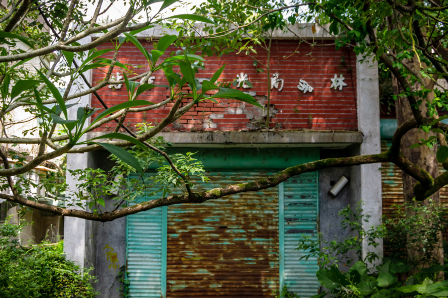
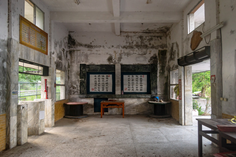
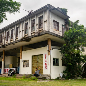
I went for a short spin around town hoping to find some trace of Guangfu’s historic movie theaters6 but came up empty. While poking around I chanced upon the abandoned Guangfu Workstation 光復工作站, an outpost of the Forestry Bureau 林務局 (中文). Commercial logging activity decreased throughout the 1980s and was finally banned in the early 1990s, putting tens of thousands of people out of work (a theme discussed in the previous entry in this series). The collapse of the forestry sector is a major driver of demographic changes in eastern Taiwan; mass emigration has caused the population of most towns in the valley to drop by 50% from their peak in the booming years of the 1960s and 1970s. That being said, forestry isn’t the only industry that vanished from Guangfu; sugarcane cultivation and sugar production were also a big source of employment in this part of the valley.
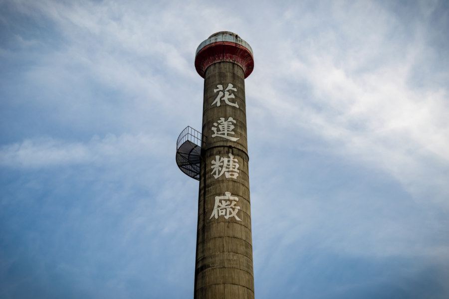
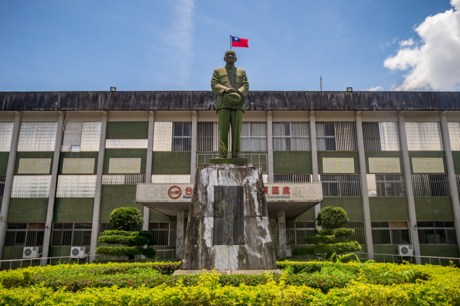
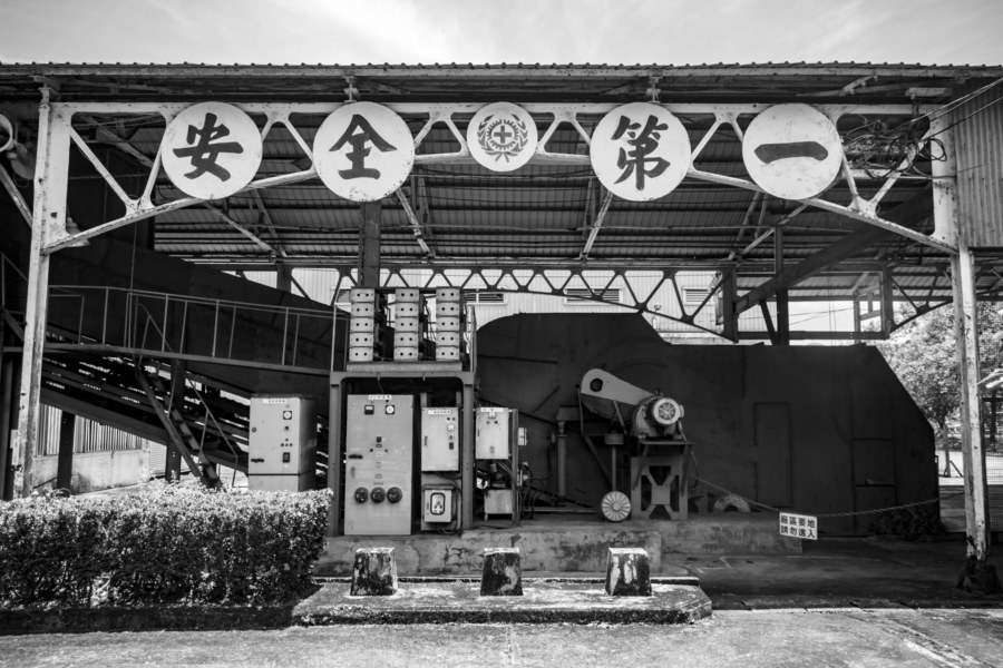
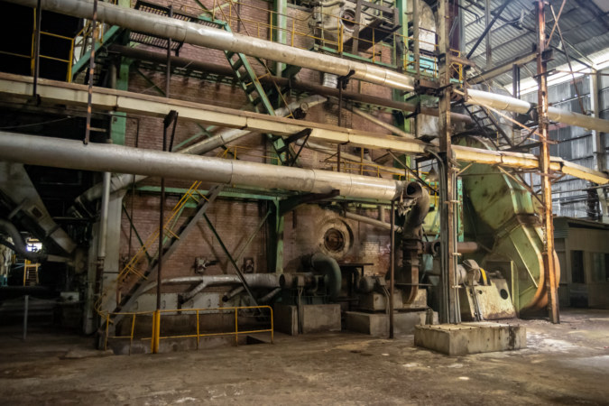
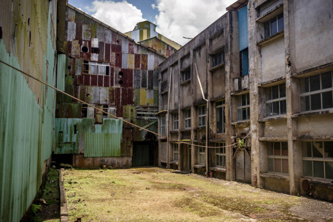
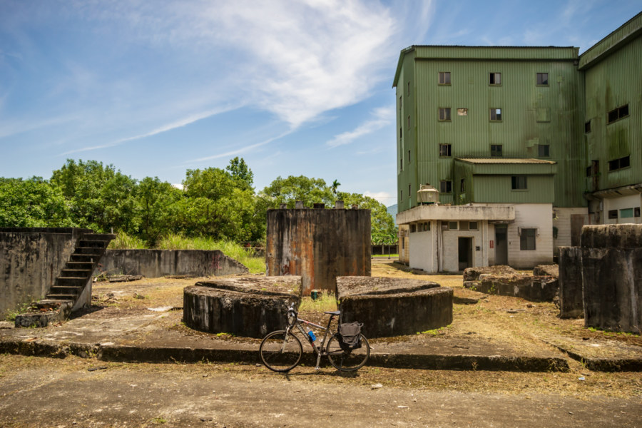
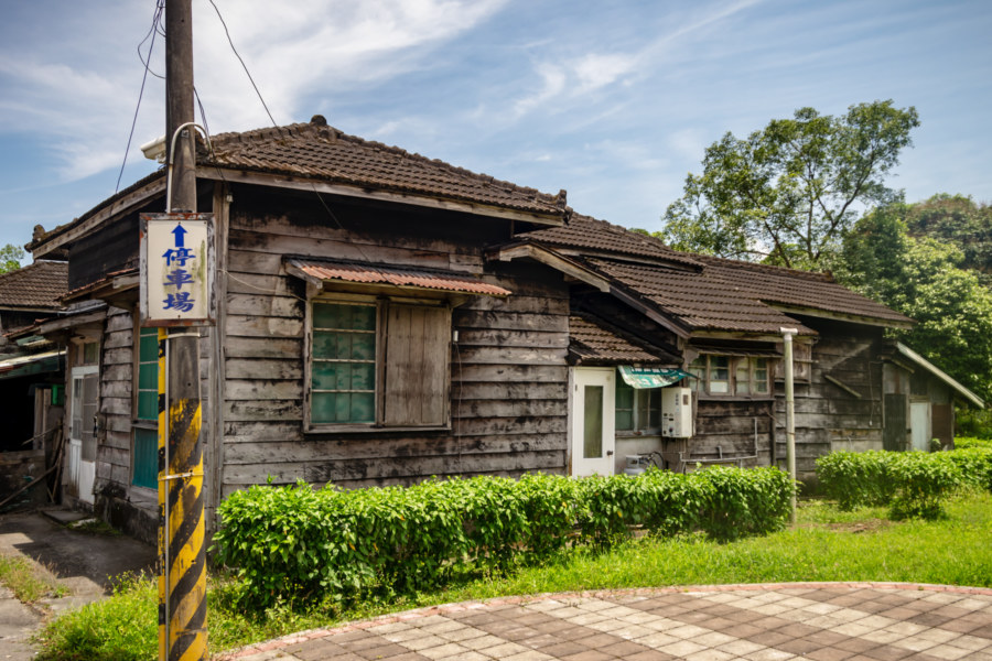
Heading south I made a brief detour to explore the Hualien Sugar Factory 花蓮糖廠, initially established in 1921. It was heavily damaged by American bombing in World War II, a consequence of also producing ethanol for the Japanese war effort7. In the post-war era it was incorporated into the state-owned Taiwan Sugar Corporation and rebuilt. Significant expansion took place in 1975 and again in 1989 but a long-term downtrend in global sugar prices and Taiwan’s accession to the World Trade Organization led to the closure of the factory in 2002. Nowadays it has become one of the primary tourist attractions in the area, offering an eclectic assortment of sights, goods, and experiences. Taisugar’s in-house ice cream is especially popular with visitors but I amused myself by photographing the old machinery. The south end of the complex is also home to an impressive set of well-preserved Japanese dormitories (花蓮糖廠日式建築群) originally built for factory workers. Several of these have been converted into restaurants and gift shops (and even a bed and breakfast, if I recall correctly).
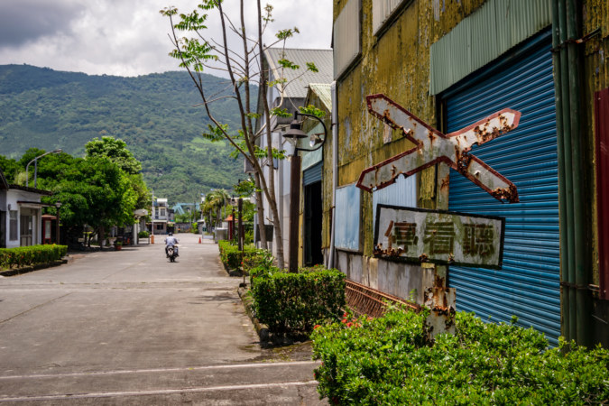
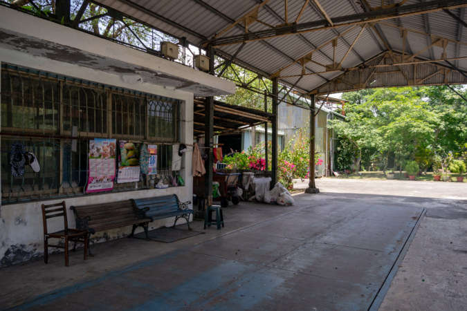
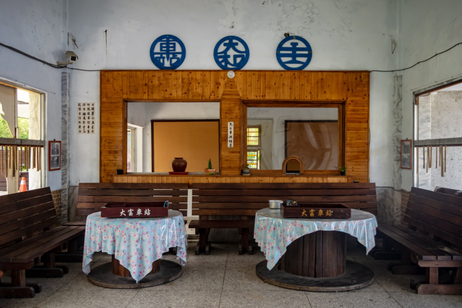
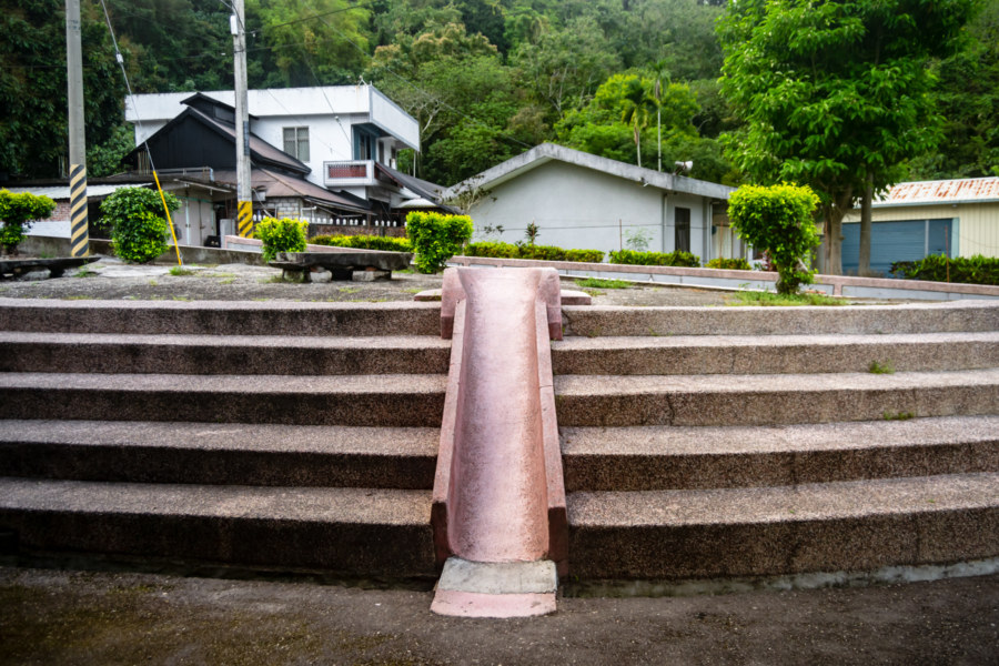
I stopped at the 7-Eleven leading out of Guangfu, knowing I wouldn’t see another air-conditioned convenience store for the next 18 kilometers of riding. Road conditions rapidly declined beyond the sugar factory; the highway was undergoing extensive repairs and clouds of cloying dust were suspended beneath the oppressive midday sun anywhere a car or truck had passed. My progress was slow, but I soon arrived in Dàfù 大富 (formerly Yamato 大和, a distinctly Japanese name), a small settlement founded by the Japanese to develop the surrounding area for sugarcane cultivation. At its peak in the 1940s this town allegedly had a population of 6,000 and a bustling old street lined with hotels, pharmacies, teahouses, and even a movie theater8, but almost none of that remains today. In fact, I saw hardly a soul while riding around town to see what might be found. The unmanned Dafu Station 大富車站 is one of the least trafficked on the entire railway network, ranking 237th in passenger volume in 2018, serving an average of a dozen passengers per day9. Not far from here I chanced upon the derelict Dafu Public Elementary School 大富國民小學, mothballed in 2014 due to a lack of young people in the area. Empty schools and disused railway stations are both symptomatic of the demographic changes reshaping eastern Taiwan.
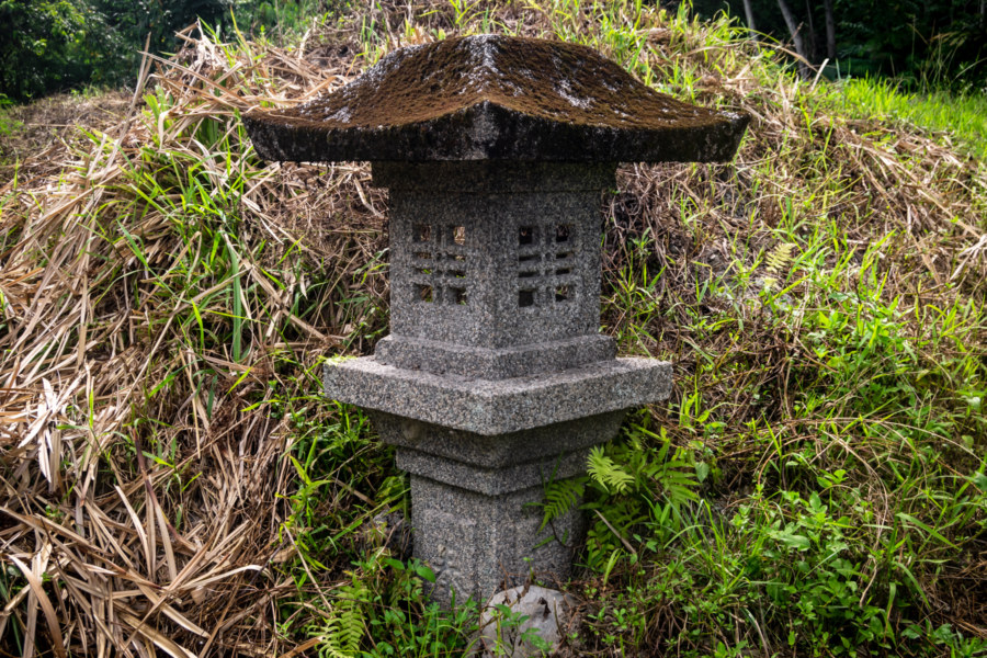
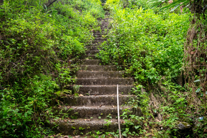
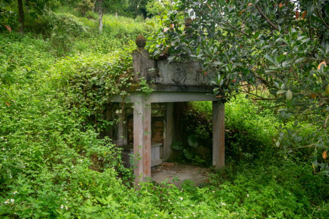
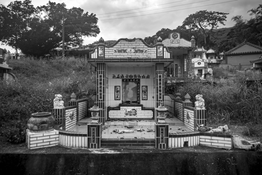
I soon crossed an almost imperceptible boundary between watersheds while entering Fùyuán Village 富源村 in Ruisui. North of here everything drains into the Hualien River 花蓮溪, but here in the central valley all rainwater eventually flows into the Xiùgūluán River 秀姑巒溪, which snakes through canyons etched into the Coastal Mountain Range 海岸山脈 and exits to the east. I headed west to locate the ruins of the Bázi Shinto Shrine 拔子社 (later renamed Shirakawa Shrine 白川神社), originally built on the mountainside northwest of town in 193310. Not much remains of this shrine apart from the visiting path and a single stone lantern. The site is heavily overgrown and there is an empty tomb in a vaguely Baroque Revival style where the main shrine would have been located. This tomb was abandoned after the family who built it endured some misfortune or another; the placement of burial sites is believed to have real-world consequences, and evidently they were compelled to relocate the remains of their ancestors to improve their luck.
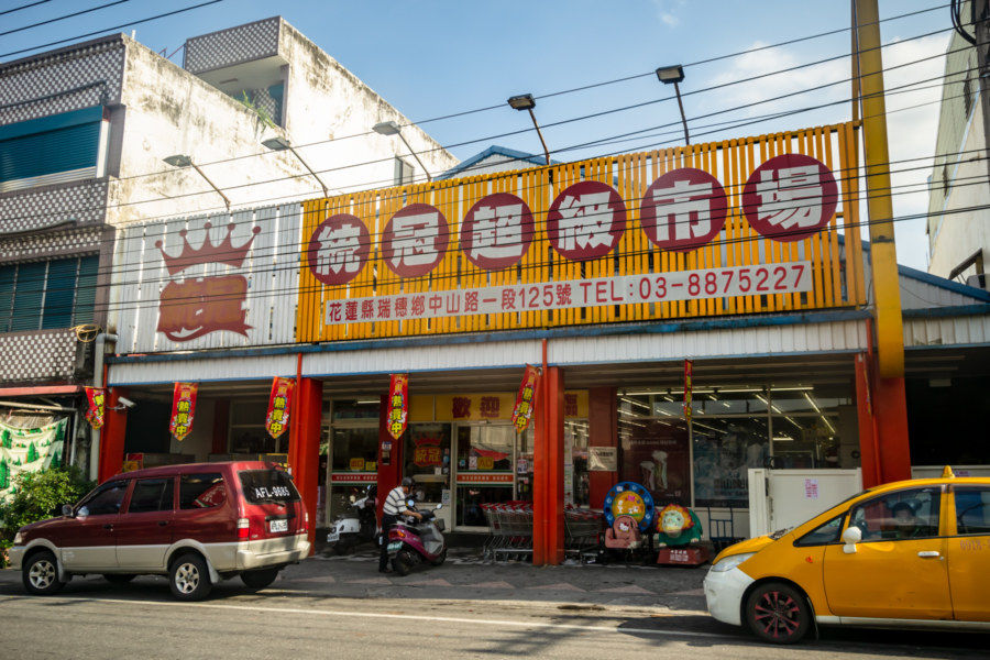
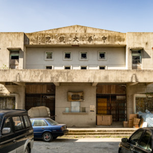
Further south in central Ruisui I resumed the theater hunt11. Ruisui Theater 瑞穗戲院 was founded in the 1940s but was destroyed in a fire shortly thereafter. In response, the local farming association converted a warehouse into a temporary cinema, which is how the Nóngmín Theater 農民戲院 (literally “Farmer’s Theater”) was born. Later this site was redeveloped into a proper movie theater with a capacity of 550 and renamed Chéngdū Theater 成都戲院. It was in business at least until the early 1980s, and after shutting down it was eventually converted into an outpost of the Tǒngguān Supermarket 統冠聯合超市 (Tkmart) chain around 2009. I wandered in to take a look around but it didn’t look anything like a theater so I’m not entirely sure any part of the original structure has been preserved. Ruisui also had a second cinema, Jīnlóng Theater 金龍戲院, originally located on Guóguāng North Road 國光北路, but it was demolished and replaced by a furniture store long ago.
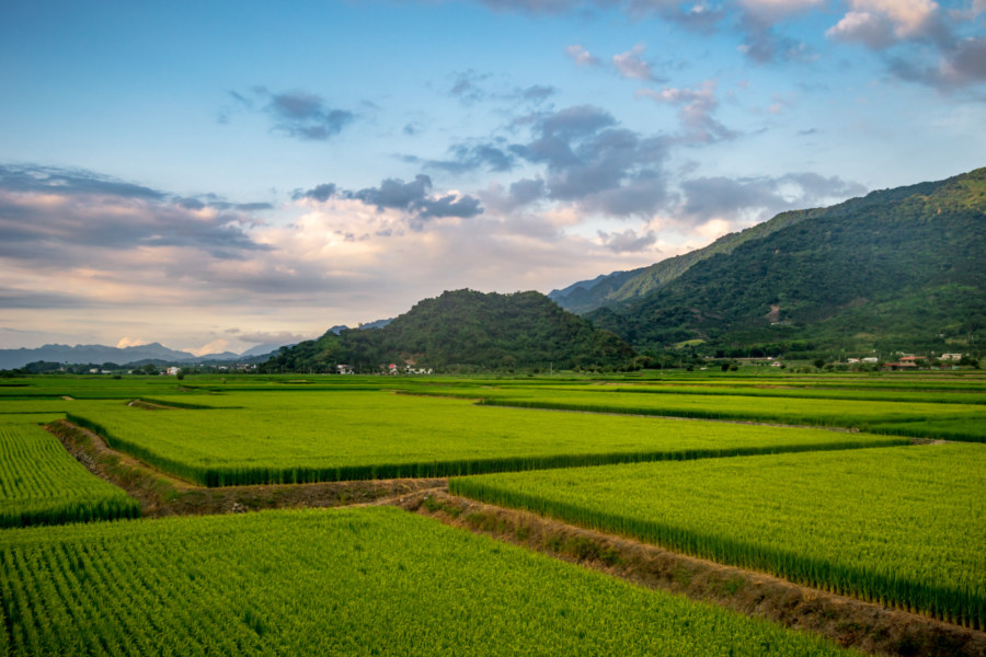
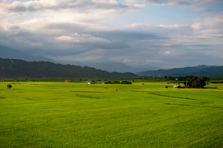
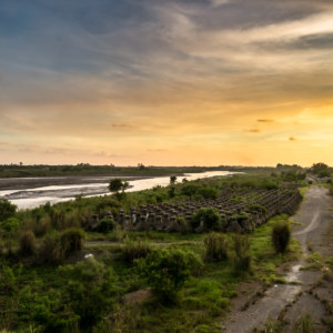
At this point it was sometime after four in the afternoon. The sun was hanging low in the sky, shadows were growing long, and the ambient temperature was finally becoming tolerable. On a previous trip I had taken Provincial Highway 9 from Yuli to Ruisui so I decided to try a different route: County Road 193, which runs along the east side of the valley. I left central Ruisui and crossed a bridge spanning the Xiuguluan River, renowned for its whitewater rafting, and entered the northernmost extent of Yuli Township. The road soon curved south and winded its way along the river terraces overlooking an exceptionally scenic expanse of rice paddies. One segment of this road, the Chūnrì Green Tunnel 春日綠色隧道, is also lined with trees. Without a doubt, this was the most gorgeous part of riding down the Huadong Valley on this particular day.
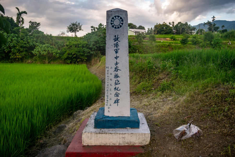
As I continued south I noticed another small monument by the roadside. It obviously commemorated something related to the ROC Armed Forces, but it wasn’t until I transcribed the inscription12 in the months following the trip that I learned what it truly signifies. Although its exact date of construction is unclear, this stone stelae honors Sergeant Gǔ Zhènyà 谷振亞, who was swept away by a flood in 1952 while assisting in the construction of the Tàipíng Canal 太平渠, a 24 kilometer-long irrigation channel running through this part of the valley. His body was never found, and while his sacrifice was not immediately forgotten, the monument was eventually overgrown with weeds and barely legible. Only in 2017 did a local painter and his son take it upon themselves to restore the monument, a story documented in news reports like this one. The irrigation channel Sergeant Gu helped build is still in use—and in fact, it is probably the source of much of the water used to irrigate the rice fields in these photographs.
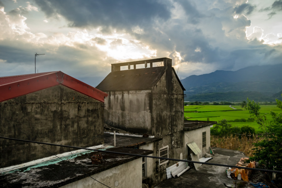
With dusk settling over the valley I knew it was time to seek shelter in central Yuli—but I couldn’t resist one last detour. I crossed back to the west side of the valley by way of Gāoliáo Bridge 高寮大橋 and headed for the tiny hamlet of Dàyǔ 大禹, named after the legendary Chinese ruler Yu the Great. In the Japanese colonial era this settlement was named Suehiro 末廣, a distinctly Japanese name, which should explain why it was renamed when the KMT arrived and implemented policies of Sinicization. Despite its diminutive size this village had a train station (built in 1917 and abolished in 1995) and a Shinto shrine (formally 末廣神社). I visited both, but there really wasn’t much of anything left; the railway station was the same design as several others already documented here and the Shinto shrine was replaced by a small temple venerating the God of Land, Tǔ Dì Gōng 土地公.
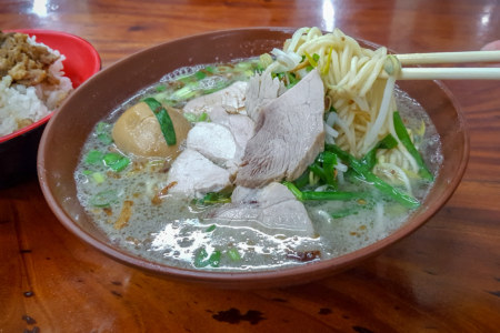
Night descended just as I arrived at the outskirts of Yuli. I had spent most of the day on country roads so it felt great to return to something that really felt like a city, however small it might be compared to the urban agglomerations of western Taiwan. Before checking into a hotel13 I stopped to try the local specialty, Yuli noodles 玉里麵, at a famous hole-in-the-wall eatery. I have to admit that I’m not a noodle connoisseur so I can’t really tell you what makes this dish so remarkable, but it was definitely delicious. With big pieces of pork served on top of strong pork bone soup stock it reminded me of ramen—if ramen were made with some of the most iconic elements of street-side Taiwanese cuisine anyway.
Overall it was a more relaxed day on the road than the previous two. Despite the peculiarity of the hotel I had chosen I ended up getting a better night’s rest than before, which meant I was recharged for the ride to Guanshan. I’ll have more about that segment of the ride next time around; until then, feel welcome to browse the series index to see what I’ve already published from this six-day trip down the Huadong Valley.
- All schools in Japanese Taiwan possessed copies of the imperial photographs and rescript, but they were usually housed in special safes in the principal’s office. Hō-an-den were customarily built in school courtyards to keep these relics safe in the case of fire, as well as to highlight their importance. The former pavilion on the Fenglin Elementary School grounds is typically identified as 鳳林公學校校內神社, and you can read more about its history here and here. For a little insight into the annual Teacher’s Day event, check out this link. ↩
- Taiwanese rivers regularly disgorge enormous quantities of rock, gravel, silt, and sand, particularly during typhoons, and it isn’t uncommon for bridges to be damaged or destroyed. This particular tunnel was built by excavating the riverbed in sections during the dry season, which is far less costly than digging from one end to the other. ↩
- This blog has dozens of posts about the many derelict military bases of the bridges and tunnels division. ↩
- Guangfu is a Kuomintang (KMT) colonial name literally meaning “restoration” or “retrocession”. It has a dual meaning, referring to the “recovery” of Taiwan from Imperial Japan, and also KMT aspirations to retake mainland China from the communists. ↩
- For more information about this old house check out this article (in Chinese with photos). ↩
- Guangfu was home to at least three theaters back in the day: Tái’ān Theater 台安戲院, Chóngguāng Theater 重光戲院, and Yǒngměi Theater 永美戲院. Not much is known about the latter two, but Tai’an Theater was located on Zhōngshān Road and had a reported capacity of 700. The name, Tai’an, is a post-war variation of Mǎtài’ān 馬太鞍, as well as the former name of Guangfu Station from 1947 to 1951. ↩
- Two ponds on the sugar factory grounds are actually bomb craters. Apparently there are some parts of the old factory exhibiting damage from shrapnel and the like, something I’d like to investigate next time I visit. For a much more informed introduction to the Hualien Sugar Factory check out these two articles by travel writer Steven Crook here and here (in English for a change). ↩
- Yamato Theater 大和戲院 was founded in the Japanese colonial era and presumably underwent the same name change as the rest of the village. There is a small restaurant and cultural space by the name of Woodpecker’s Garden 啄木鳥的花園 directly across from the railway station that might be housed in the original structure, or perhaps it occupies the same location as the former theater. In any case, the restaurant is by appointment only, and since I hadn’t called ahead, there was nobody around to answer any of my questions when I visited. ↩
- Taiwan Railways Administration maintains a list of passenger and cargo volume by station but the URL often changes and I’ve had some trouble pulling up the official list. This mirror dates back to 2018 and provides the basis for the claim that Dafu Station is one of the least utilized on the entire railway system. ↩
- More information about this particular Shinto shrine can be found here. ↩
- This article (in Chinese) features some useful information about the theater history of Guangfu, Ruisui, and Yuli. ↩
- The full inscription in Chinese reads: 故陸軍中士谷振亞紀念碑. ↩
- Whereas I had enjoyed staying in a local hotel in Fenglin the previous night I had some trouble finding similar lodging in Yuli. Not wanting to mess around any more than necessary, I booked a place on Airbnb that turned out to be overpriced and oddly designed. Never know what you’ll get when you rent online in Taiwan—which is why I always prefer to stay in vintage small town hotels wherever I can find them. ↩




Write a Comment