Suhua Highway Road Trip 2018 蘇花公路機車之旅

Looking South Along the Qingshui Cliffs

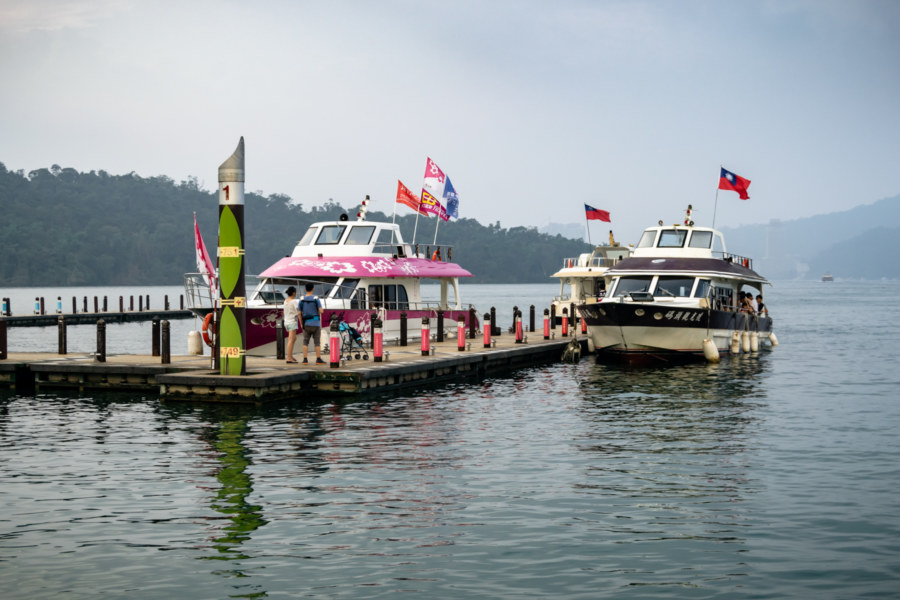
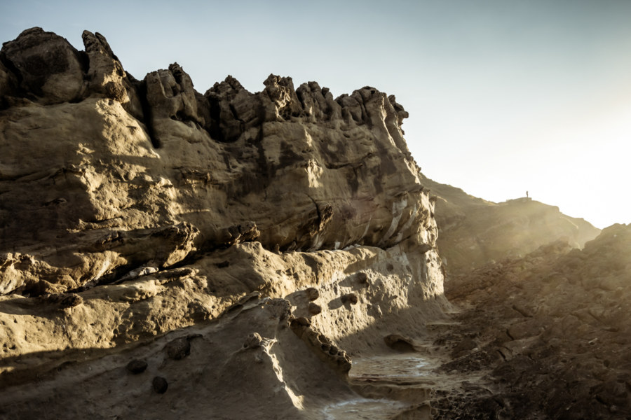
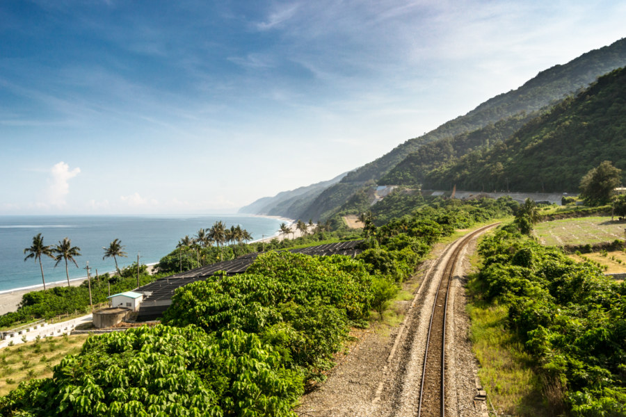
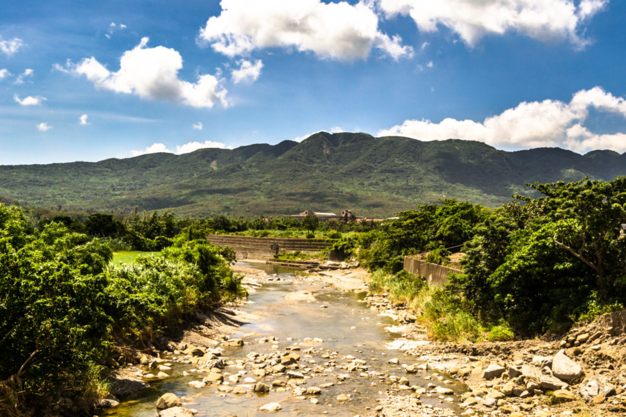
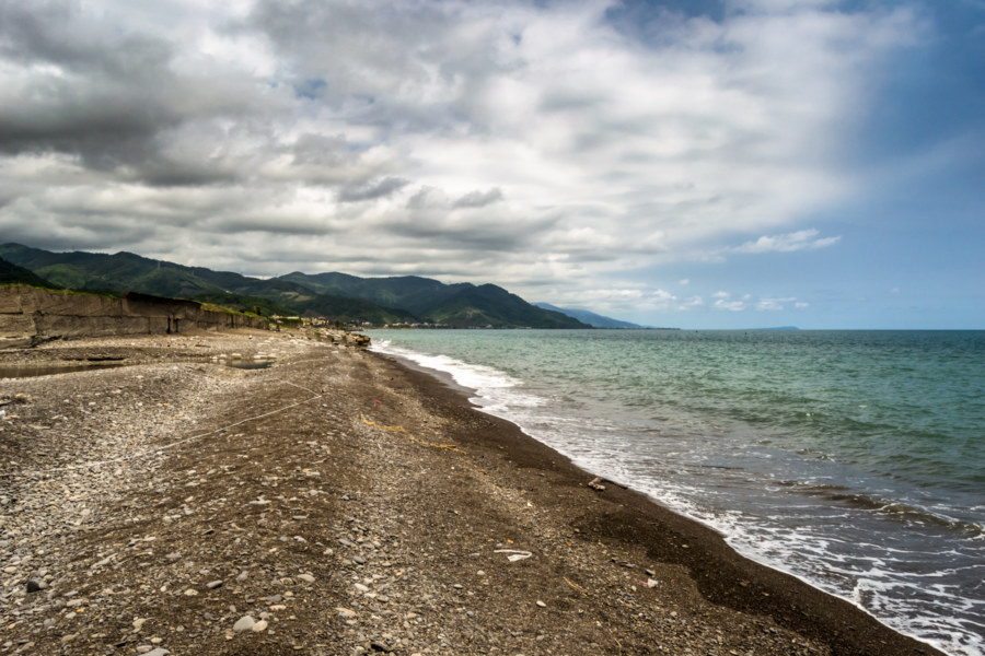
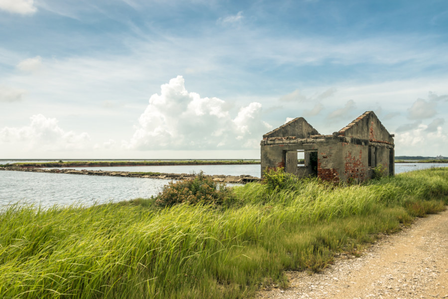
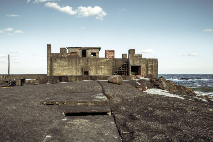
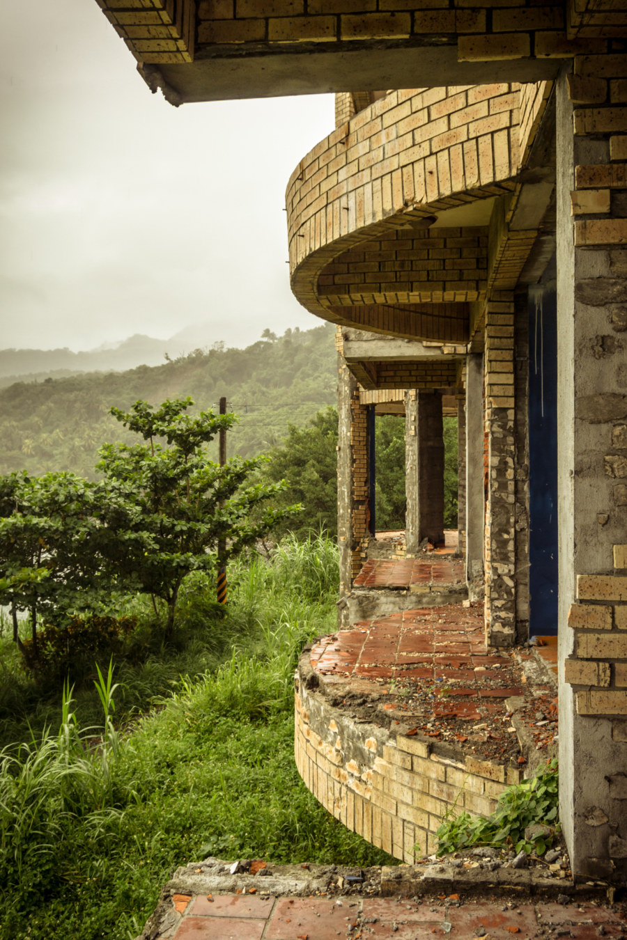
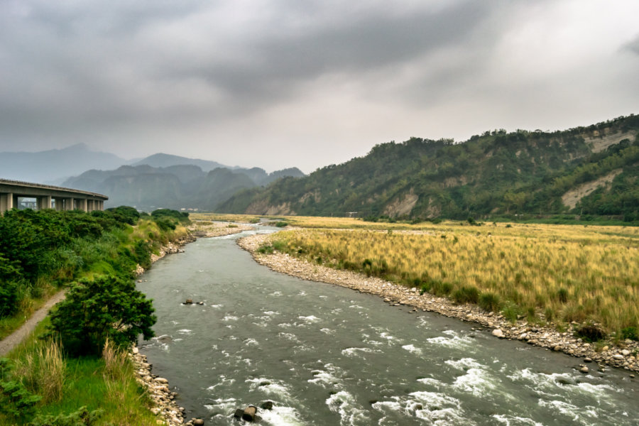
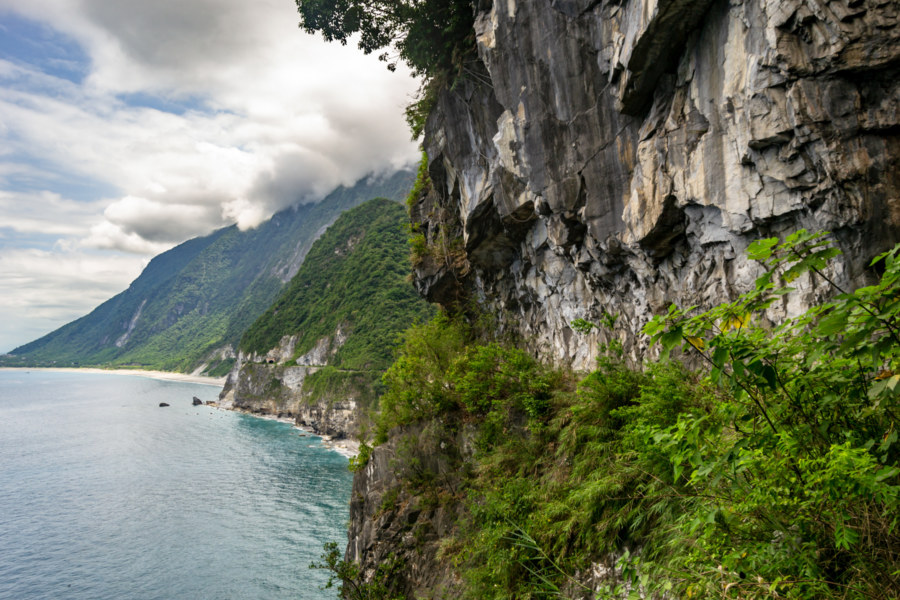
In May 2018 I seized an opportunity to ride the beautiful and dangerous Suhua Highway (蘇花公路) from Hualien City to Su’ao in Yilan. I had previously taken this same route on bicycle back in 2013—a harrowing trip I’ll never forget—so I was eager to drive a scooter and experience it at a different pace. I also visited a number of historic sites along the way, including several former Shinto shrines, as part of an ongoing project documenting various elements of the Japanese colonial legacy in Taiwan. Much of the highway itself also owes something to Japanese engineering, having opened to vehicular traffic in 1931, but it has been continuously repaired and expanded since then.

Nantou Road Trip 2015: Puli to Sun Moon Lake

Coming Into Harbour at Ita Thao Village

This post gathers photos taken on two scooter rides from Puli to the shores of Sun Moon Lake 日月潭 in Yuchi, part of a multi-day road trip undertaken in late 2015. I didn’t have a chance to explore as deeply as I would have liked, nor did I really know what was so special about this part of the country while I was there, so this post will be somewhat less extensive than most others in this series. I hope to someday return to the Sun Moon Lake area and gather material to make a fully informed post about this fascinating part of Taiwan.

Postcards From Badouzi 八斗子明信片

Sundown over the coast of Badouzi

Near the end of my first summer in Taiwan I visited Bādǒuzi (八斗子), a rocky headland, coastal park, and major fishing port at the far eastern edge of Keelung. I went there on impulse, not knowing what to expect, just to see what was out there. Google Maps and Taiwan’s excellent public transit system make random explorations like this almost effortless: pick a point of interest and follow the directions—the digital equivalent of throwing a dart at a map. This post features a selection of retouched photos from this expedition alongside the sort of explanatory text I wouldn’t have been able to write back in 2013. Fair warning for arachnophobes: this post contains several gratuitous photos of giant spiders and other creepy crawlies!

Southern Taiwan Ride 2015: Dawu to Taitung City

Looking south from Taimali along the coastal highway in Taitung

My last big day of riding around southern Taiwan in June 2015 began in Dawu, Taitung, with only about 55 kilometers to go before arriving in Taitung City. I had been out in the sun far too much the previous day and was feeling rather sluggish and a bit sick so I didn’t end up taking any side trips into the mountains as I made my way north. Even so, the scenery was fantastic, and while I won’t have as much to write about this particular day of my trip, I have plenty of beautiful photographs to share.

Southern Taiwan Ride 2015: Manzhou to Dawu

On the road again in Manzhou Township

My fifth day of riding around southern Taiwan in June 2015 delivered me to the most remote parts of the island’s 1,139 kilometer-long coastline. On the previous day I rode from Fangliao, on the southwestern coast, around Hengchun and into the foothills of the Central Mountain Range 中央山脈 to reach Manzhou, one of the last places to find lodging before forging on to Taitung. I had already taken this route while riding all around Taiwan in 2013 so I was familiar with the territory, but that first tour was so rushed that I hadn’t been able to enjoy the scenery. (Actually, I had been outrunning a typhoon the last time I was here—but that’s a story not yet told on this blog.) This time around my intent was to take it slow and explore more of this obscure part of coastal Taiwan.

Southern Taiwan Ride 2015: Fangliao to Manzhou

Pebble beach vista in Fangshan

Last summer I embarked upon a weeklong bicycle tour in the deep south of Taiwan. I began in Tainan, cycled through Kaohsiung to Pingtung City, spent a day hanging out, and then continued on to Fangliao, where the coastal plain narrows to a thin wedge between the mountains and the sea. There is only one road leading south from here—which meant I covered a lot of ground I had already seen while riding all around Taiwan in 2013. I didn’t mind repeating that beautiful stretch of coastline and, actually, I was looking forward to checking out some places I had breezed by on that first big tour, particularly in Fangshan and Hengchun.

Qingkunshen Fan-Shaped Saltern 青鯤鯓扇形鹽田

Beneath an electric blue sky

The southwestern coastal region of Taiwan is salt country. From Budai in Chiayi down through Beimen, Jiangjun, and Qigu in Tainan, an incredible expanse of manmade salt evaporation ponds sprawl across a completely flat and almost featureless landscape, much of it reclaimed from the briny lagoons that line the coast. Salt has been produced here for more than three centuries by channeling seawater into artificial enclosures and letting the strong tropical sun do the rest. Taiwan’s accession to the WTO in 2002 doomed the industry and all remaining salterns (or salt fields, if you like) were decommissioned that same year. This led to the abandonment of the unique Qīngkūnshēn Fan-Shaped Saltern (青鯤鯓扇形鹽田), now a surreal reminder of the history of salt production in southern Taiwan.

Explorations of the Pacific Edge 1

The easternmost tip of Taiwan

These photos were taken two years ago after cycling through the Old Caoling Tunnel 舊草嶺隧道 into Toucheng, Yilan. The first set of six photos were all shot along the rugged shoreline of the Láilái Geological Area 萊萊地質區 while the last four were captured at Mǎgǎng 馬崗, a half-abandoned fishing village on Cape San Diego 三貂角 (pinyin: Sāndiāojiǎo), the easternmost tip of Taiwan. All were captured in Gongliao. From here the vast Pacific Ocean stretches all the way to Baja California in Mexico.

Jiamuzi Bay Minsu 加母子灣民宿

Nothing left of the glass balconies except an extraordinary view

Jiāmǔzǐ Bay 加母子灣 is a beautifully remote and scenic stretch of coastline just north of Taitung City in Donghe, Taitung. It is also home to the gutted ruins of an abandoned mínsù 民宿 (a funky bed and breakfast or homestay-style inn) readily visible from just about anywhere along the bay. While cruising along the coastal highway on my first Taiwan bicycle tour in late 2013 I stopped two stops to take a closer look: once beneath the moody remnants of Typhoon Usagi and again on a sunny afternoon the following day.

Postcards From Nanfang’ao 南方澳明信片

Returning to Nanfangao harbour

Nánfāng’ào (南方澳) is a major fishing port in Su’ao, Yilan, on the east coast of Taiwan. It is located just south of the end of the Lányáng Plain (蘭陽平原), where a rocky headland juts out into the ocean to form a natural harbour. It opened in 1923 after development by the Japanese colonial authorities and is now considered one of the top fishing ports in the nation, often ranking in third place by measures unknown to me, and is particularly known for its record-breaking mackerel catch. Part of why the port is so productive has to do with the nutrient-rich Kuroshio Current (黑潮, literally “Black Stream”), which lies just offshore.