Last October, while living in Zhongli, I ventured out into the countryside for a random bicycle ride on Halloween. Like most of my rides I didn’t have a route planned or anything, only a general intention of checking out the obscure Fugang Old Street (富岡老街) about 15 kilometers west of the city. Along the way I followed my intuition (with a little help from Google Maps) and captured photographs of anything interesting and unusual I came across. Featured here are more than two dozens pictures from this ride through parts of Zhongli, Xinwu, Yangmei, and Pingzhen in western Taoyuan.
There wasn’t a whole lot to see as I cycled westward1 along the major roads leading out of Zhongli. The forecast called for a 30% chance of rain so I was somewhat dismayed to see storm clouds gather as I left the city—but I managed to make it through the day having endured nothing worse than a light drizzle. Cool temperatures actually made for a pleasant ride, though it’s not as if I exerted myself very much on the flatlands of the Taoyuan Plateau (桃園台地). The only slopes I climbed all day were in urban Yangmei, a city of around 160,000 is perched on the edge of the Hsinchu Hills (新竹丘陵).
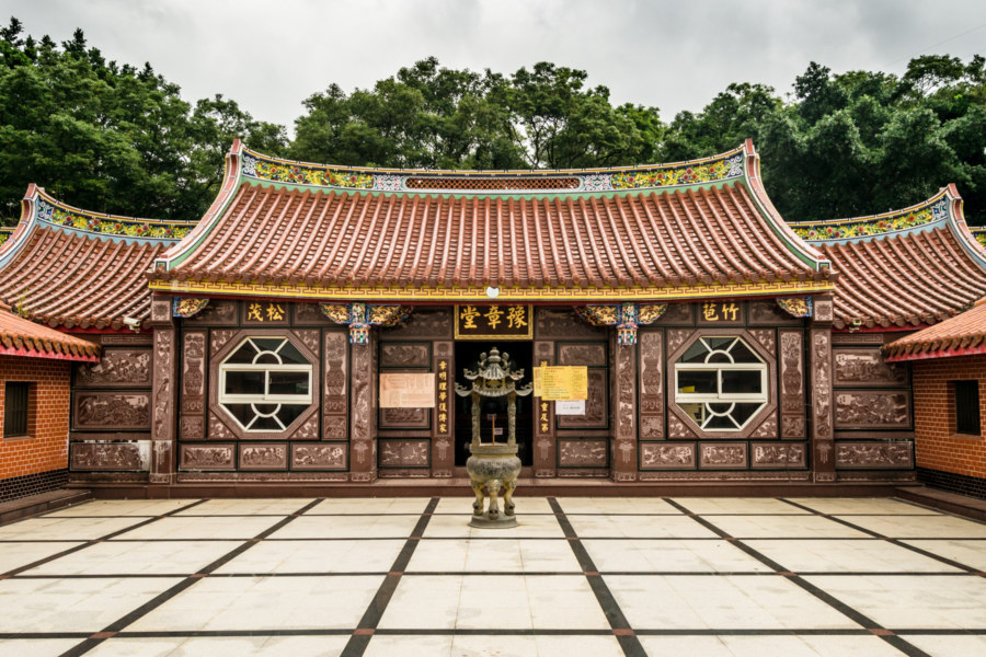
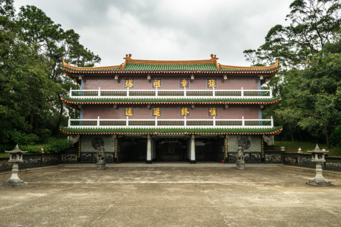
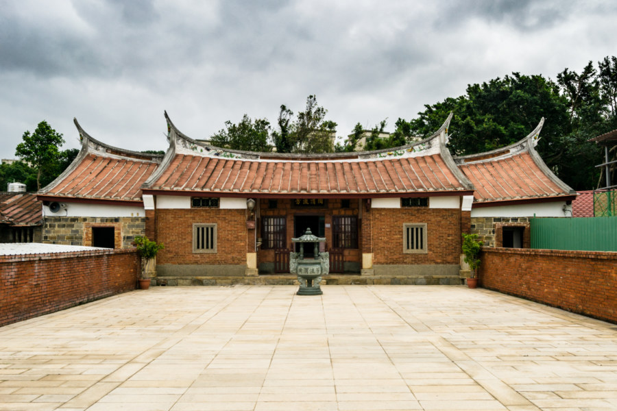
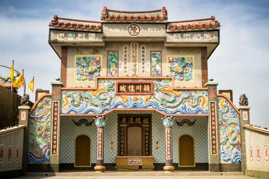
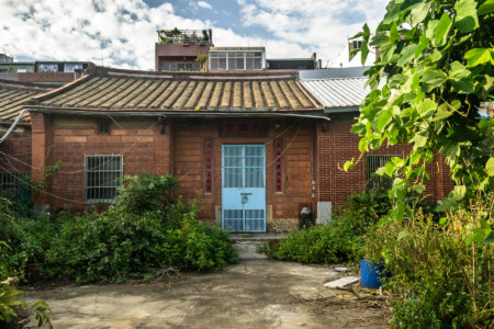
My first real stop was at Yùzhāng Hall (豫章堂) in a small place named Jiǔdòu Village (九斗村) in Xinwu. The Chinese on the historical plaque out front was beyond my understanding but I went to take a look anyway—and was impressed at the scale and the style of the place, whatever it was. At the time I was trying to figure out whether it was an old residence or a temple but it turns out to be an ancestral shrine for the Luo clan (羅氏). Taoyuan is Hakka country—and the Hakka are very serious about venerating their ancestors, as you can probably tell from the scale of these and other structures to follow. I’m not sure how busy this place gets when there’s an event of some kind but I bet hundreds, if not thousands of people will pay their dues on occasions like Tomb-Sweeping Day (清明節). One last tidbit: despite appearances this shrine only dates back to 1951!
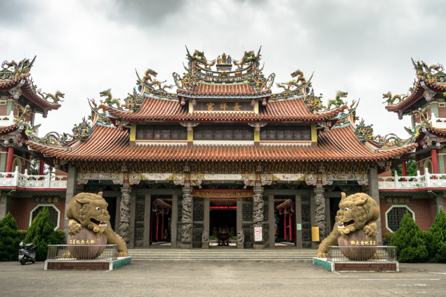
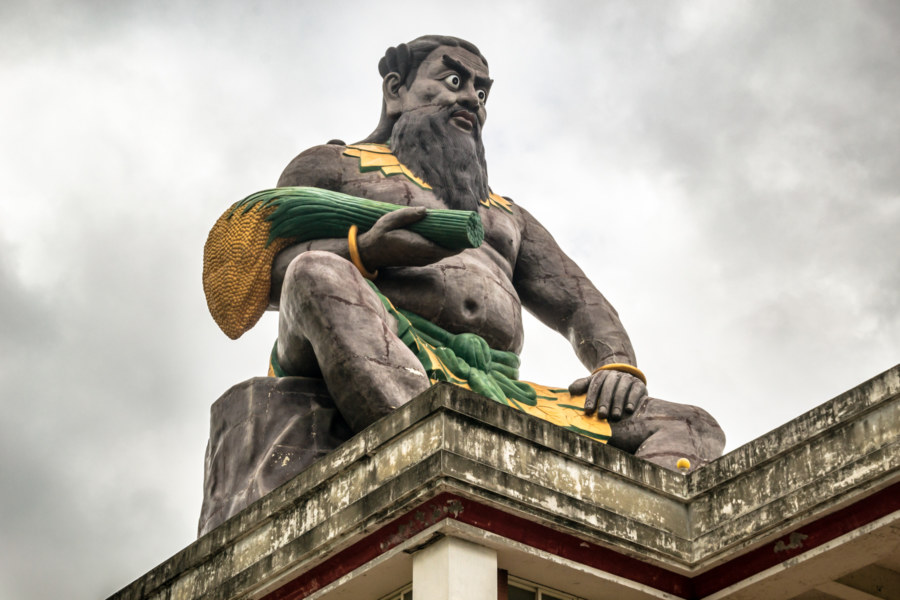
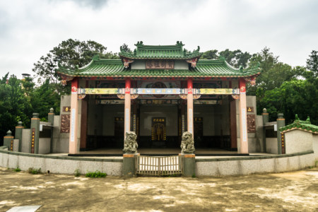
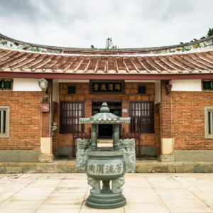
Not far from the Luo clan’s ancestral hall I stopped to check out the impressive Zhǎngxiáng Temple (長祥宮). From what I’ve read there was a small shrine on this site in the mid-1800s but it wasn’t until 1985 that the temple and the surrounding gardens were complete. The main deity venerated here is Emperor Shénnóng (神農大帝), god of agriculture (literally “the divine farmer”), who can be seen perched on top of a temple outbuilding with a big bushel of what looks to be millet in his right hand. I have to admit I’m a fan of temples with giant statues of gods on top of them (see here and here for more examples) so I was quite enthused to chance upon this big fella.
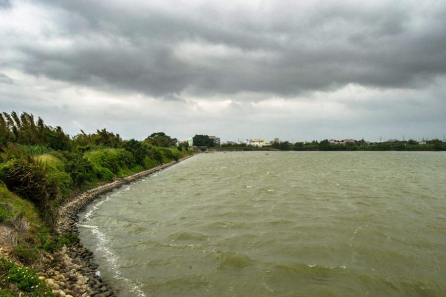
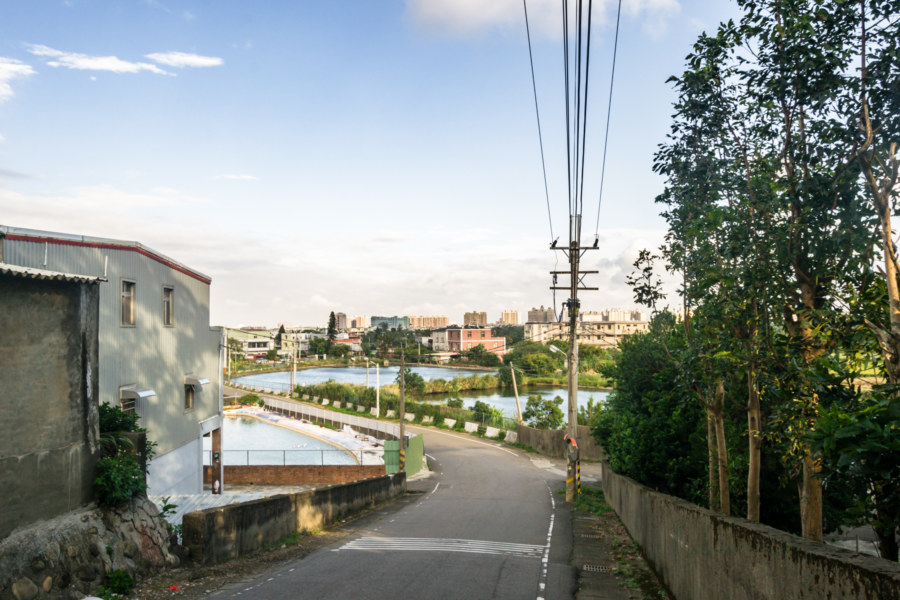
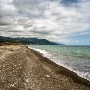
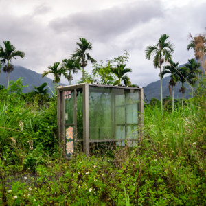
One of the distinguishing features of the Taoyuan Plateau is the presence of hundreds of artificial irrigation ponds, the oldest of which—the famous Longtan Lake (龍潭大池) in Longtan—dates back to 1748. The history of this manufactured landscape is surprisingly interesting (though, as usual, I knew nothing of it at the time). In short, the plateau had no major freshwater resources suitable for agriculture2 so early Chinese settlers, learning from established practices of Indigenous people of the region, built these ponds to store rainwater for year-round irrigation. This system was still subject to drought—which is why the Japanese colonial authorities constructed the Taoyuan Canal (桃園大圳) in 1928. In the 1960s the KMT completed the Shihmen Dam (石門水壩) close to the headwaters of the Dahan River, further enhancing the available of water on the plateau while rendering the irrigation pond system obsolete. Some ponds have since been converted into parks, others have been left to the elements and now serve as valuable wetland habitats for migrating birds, and many more have been filled during the rapid urbanization, industrialization, and population growth concurrent with the Taiwan Economic Miracle (not to mention Taoyuan Airport). From a total of more than ten thousand ponds there are now less than a thousand and the number dwindles every passing year.
For more about what the government of Taiwan calls a unique cultural geography Michael Turton provides a great introduction to the ponds of Taoyuan and also documented many of them on a ride around the plateau. Truth be told, the ponds aren’t much to look at, but I’m glad I unwittingly snapped at least one photograph of my own to add to this account. The history of this part of Taiwan is inextricably linked with these seemingly unremarkable ponds.
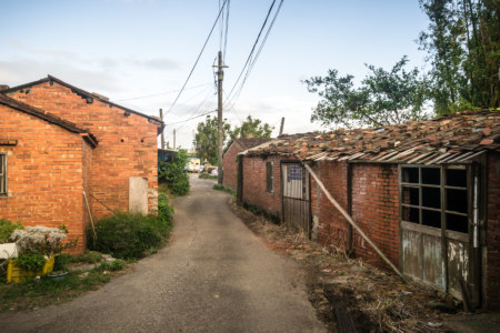
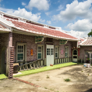
Cycling into the heart of Xinwu, the westernmost district in Taoyuan, I looped around to the north side of town to scope out what looked to be a historic site of some import. This turned out to be the Fanjiang Ancestral Hall (范姜祖堂) and a bunch of traditional Hakka homes that gave the district its name (literally “New House”). I devoted an entire post to this attraction so follow this link for more about that. I spent a little more time roaming around Xinwu in search of colonial architecture or an abandoned movie theater or two but came up empty and soon exited town by way of the south.
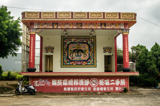
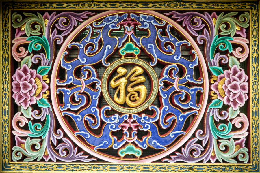
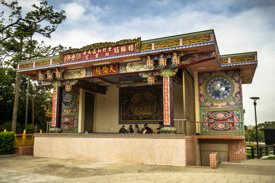
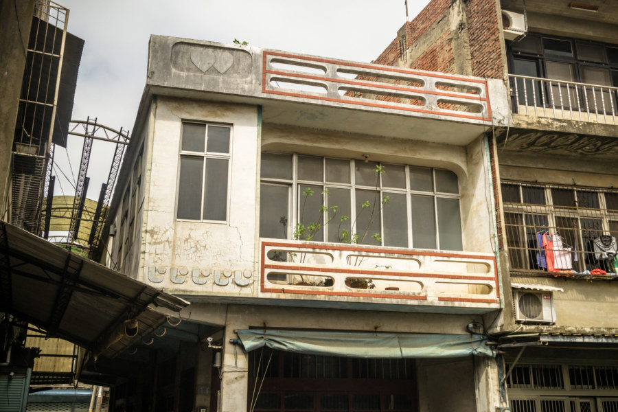
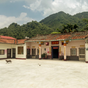
Fùgāng Village (富岡村), my ultimate destination for the day, is located in the western part of Yangmei. It is a small traditional town, probably with no more than a few thousand residents, and is surrounded by farmland and fewer factories than you’ll find in most of the rest of the county. Entering the village from the north I passed by Bogonggang Park (伯公岡公園)3 and a number of interesting tombs and ancestral shrines before arriving at the beautiful Miàolíng Temple (妙靈宮) and the traditional performance stage next door. Perhaps owing to its proximity to the cemetery I can find almost nothing about this temple online in stark contrast to what my usual searches turn up. About all I can say it that it’s a Hakka temple—this being a majority Hakka town—and one report I found suggests it was built in 1937 and reconstructed at some point in the last few decades. The beautiful wood-carved window features a stylized representation of fú (福), a symbol of good fortune and prosperity, at its center.
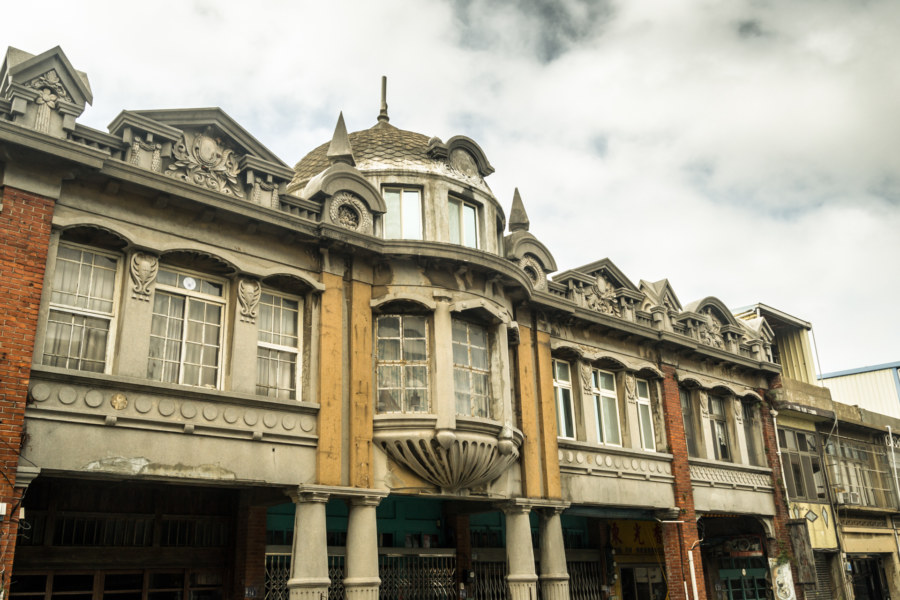
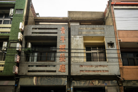
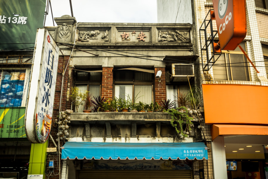
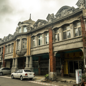
Fugang Old Street isn’t actually much to look at, nor has it been developed into a tourist attraction of any kind (which suits me just fine). The main draw is one uncommonly gorgeous shophouse with a baroque facade and a squat cylindrical tower. Apart from this there isn’t too much to see in the area around the train station but I still found enough to make a full post about it.
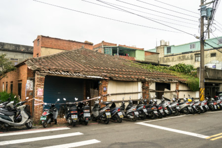
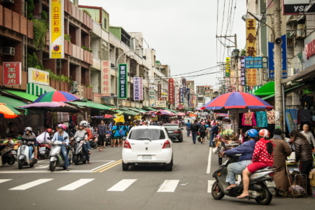
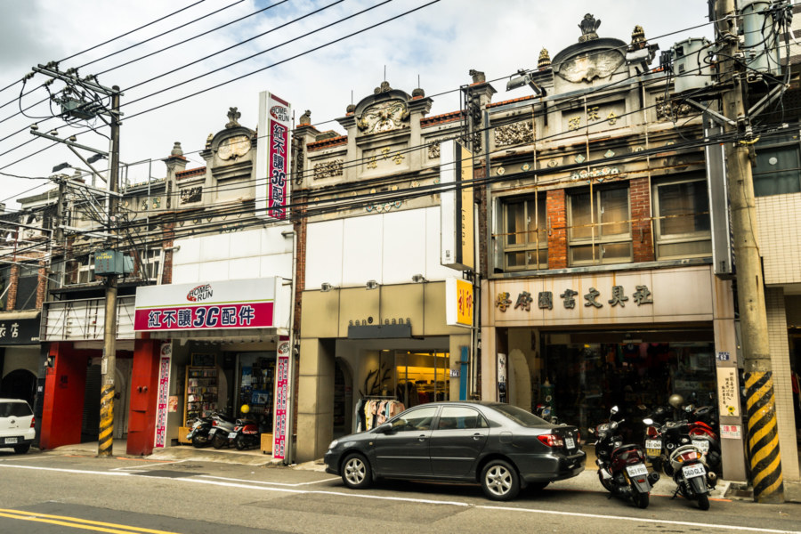
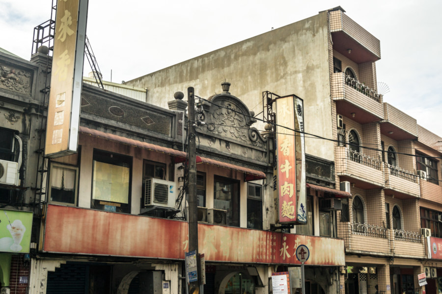
Turning east I pedaled through the industrial sprawl along the railway line all the way to the center of Yangmei, a patchwork city that follows the rippling contours of the low hills to the south. Here I found more Japanese colonial era shophouses, though none of them showed any sign of preservation or even much in the way of maintenance. Again I went searching for an abandoned movie theater using my usual tricks (riding around market areas, major intersections, and the front of the train station) but found nothing.
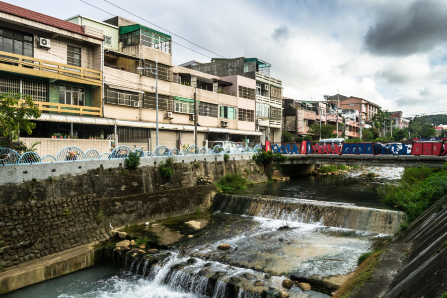
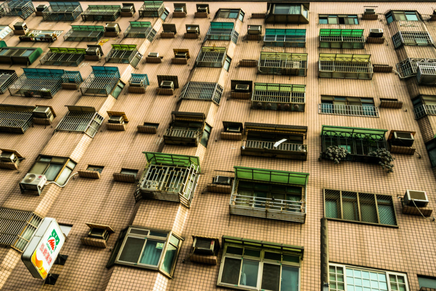
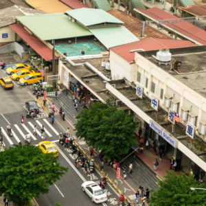
With the shadows of late afternoon growing long I continued in an easterly direction toward Puxin Station (埔心車站). Everywhere I went I saw an explosion of new developments. High-rises are going up all along the railway line and long rows of modern apartment blocks run perpendicular to the main road. Cruising along one extraordinarily long, unbroken street I was struck by the feeling that these new developments were copying some of the worst urban planning patterns of the west. Then again, it might be a step up from what was there before. Now that I look into things a little more that long street was formerly one of many military villages in the area.
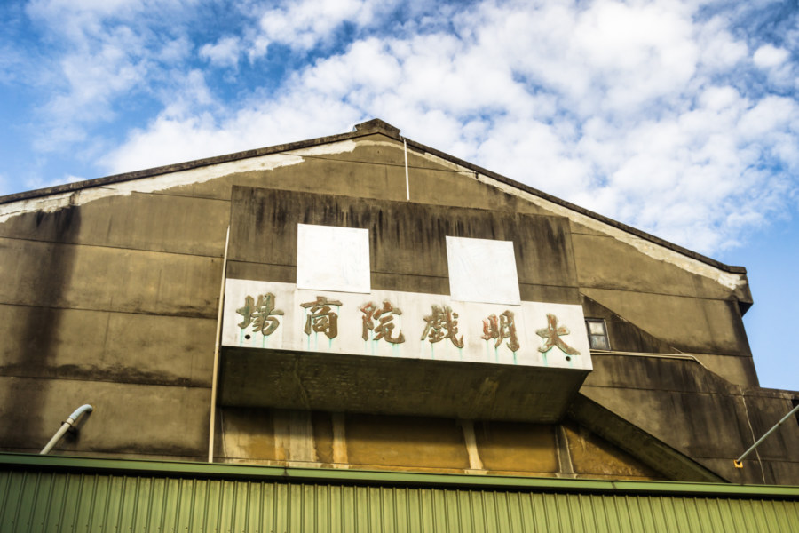
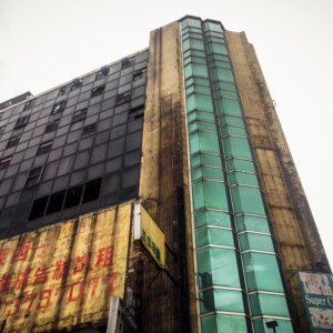
My idle quest to locate abandoned theaters based solely on intuition finally bore fruit in Puxin. While riding along the main street extending outward from the station I noticed a large building off to one side with a weatherworn sign that reads Dàmíng Theater Shopping Center (大明戲院商場). The ground floor is still occupied and all stairways are secured—I checked, of course—so I haven’t been inside, but I felt pretty good about finding at least one on this ride3.
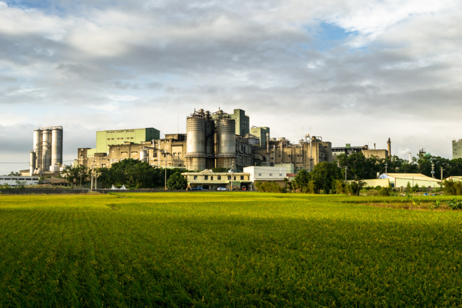
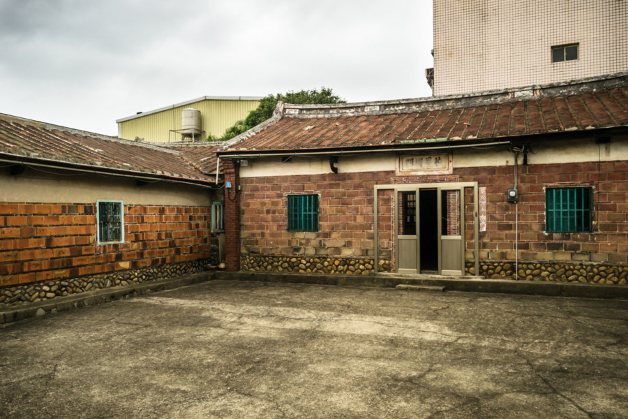
With daylight fading I cut through Pingzhen, checked out a few old farmhouses, and soon rejoined the main road leading home to Zhongli. There wasn’t too much more to see apart from the oddly scenic sight of a Shin Kong factory across an open field. Taoyuan is known for its many factories but I somehow managed to avoid seeing more than a handful on this 35 or 40 kilometer day trip around its western extremity. Anyhow, that about wraps up this bicycle ride—I hope you enjoyed this little taste of the wild country beyond the big city!
- Incidentally, while drafting this piece I came across this post on a Taiwanese blog with a route almost identical to the first third of my journey that day. ↩
- Some background info about local geomorphology from this article: the Taoyuan Plateau is an alluvial plain originally built by the Dàhàn River (大漢溪). 30,000 years ago this river was captured by the Tamsui River (淡水河) and now flows through the Taipei Basin (台北盆地). ↩
- This name is derived from the former name for Fugang. The area around Puxin Station was once home to at least one more theater, pictured here). It was demolished a few years ago and I’m not entirely sure what the name was. Yangmei was also home to the illustrious Venus Theater (金星戲院) but this is long gone. ↩ ↩

Write a Comment