My fifth day of riding the Huadong Valley in 2018 began in Guanshan and ended in Taitung City, approximately 45 kilometers further south. Although there were several uphill segments this was one of the least demanding rides of the entire trip, partly because I had a good night’s rest, but also due to some cloud cover moderating the influence of the tropical sun. After rising I cycled over to Little Star Breakfast shop (小星星早餐店) to try their fluffy handmade dànbǐng 蛋餅 (a crepe-like egg roll with various fillings). Feeling recharged, I set out to catalog more of eastern Taiwan’s historical relics and natural wonders.
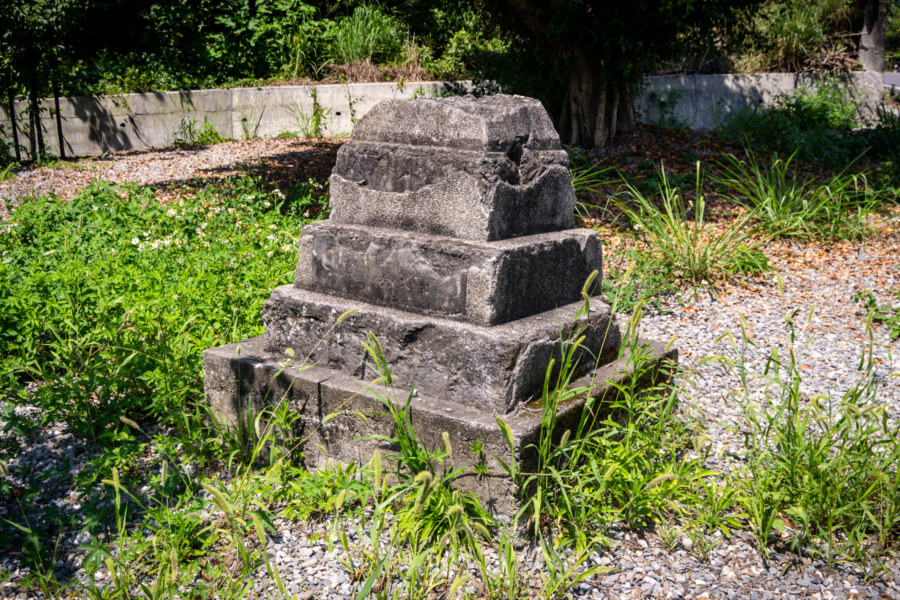
On the western edge of town I went to have a look at what little remains of the former Shinto shrine in Guanshan1. Only a stone lantern base remains; the rest was dismantled “after the war” according to popular histories. From my previous investigations of the fates of Shinto shrines in Taiwan it is more likely to have been destroyed following the promulgation of an edict requiring the removal of Japanese imperial relics in 19742. In any case, it was originally constructed in 1928, back when this area was known as Lǐlǒng (里壠; Taiwanese Hokkien: Lí-lāng; a name derived from the Amis language), hence it was known as Lilong Shrine (里壠社). Plenty of old Japanese colonial buildings bear this same archaic name; the town was only renamed Guanshan in 1937, around when Japanization efforts really began to accelerate3.
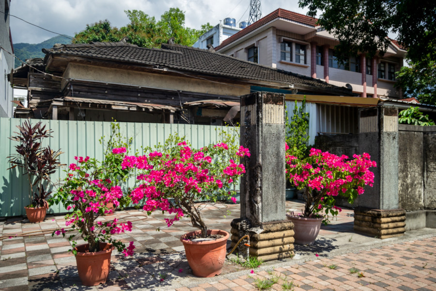
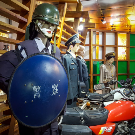
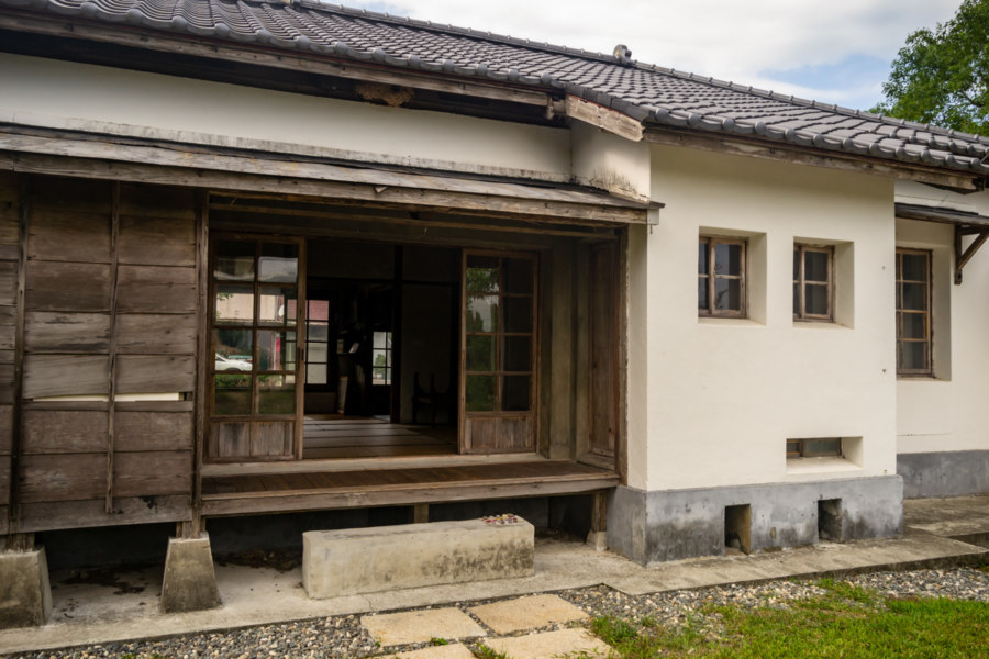
Heading back into town I breezed by the Lilong Administrator’s Residence (里壠官舍), constructed in 1938 and formally designated a heritage building in 20094. This entire block at the edge of town was purpose-built to house Guanshan’s burgeoning civil administration. Several other wooden dormitories can still be found here—one of which contains the Guanshan Police Museum (關山警察史跡文物館), which is open to the public at certain hours (though you’ll have to request entry from the modern police station out front).
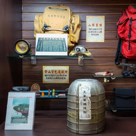
The police museum provided a welcome 15 minute respite from the strengthening sun. Most of the artifacts inside were self-explanatory, but several related to an incredible story that I had to look up after the fact (there being little in the way of English on the informational plaques of this small town museum). In September 1945, not long after the Japanese surrender, a converted B-24 Liberator carrying recently released prisoners of war crashed into the mountains west of Guanshan, killing all 26 crew and passengers on board. They were en route from Okinawa to Manila and ran into rough weather due to Typhoon Ursula, which caused the crash of five other evacuation flights, claiming 120 lives altogether.
Bunun hunters in the mountains witnessed the crash and soon informed the police in Guanshan of the location. Japanese colonial police officers, not yet relieved of duty in the pending handover to the Kuomintang (KMT), elected to organize a search and rescue party. An initial group of eight reached the site of the crash after three days of hard climbing and found no survivors, only plane wreckage and bodies scattered everywhere. A second party of 89 men was dispatched a week later to bury the bodies on site—but disaster struck once again, as Typhoon Jean brought torrential rains and high winds to the mountainside, causing another 26 people to perish. These twin disasters came to be known as the Sānchā Mountain Incident (三叉山事件)5.
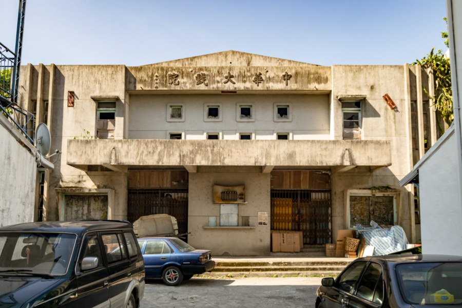
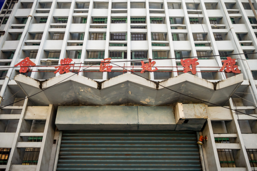
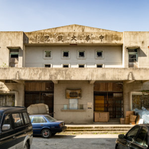
Guanshan now has fewer than 10,000 residents but was home to several movie theaters in the booming years of the 1970s. Most of these cinemas have already been demolished but the hulking ruin of Zhōnghuá Theater (中華大戲院) remains intact, hidden down a small laneway not far from the front of the railway station. It opened in 1965 and enjoyed a 20 year run, closing its doors in 1985. It was by far the most interesting site I visited on this day of riding—so be sure to check out the full post for more.
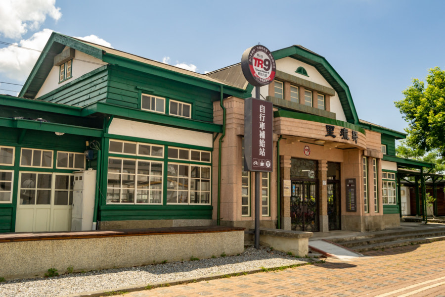
Old Guanshan Station (關山舊車站) is another landmark with official heritage status. Constructed in 1922, this wooden railway station was in use until it was decommissioned in 1980, part of the modernization of the Taitung Line (臺東線). Nowadays it enjoys a second life as a cyclist rest stop, emblazoned with the original Japanese name (里壠驛) over the entrance.
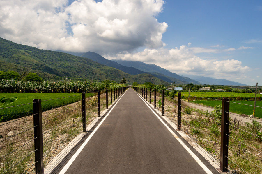
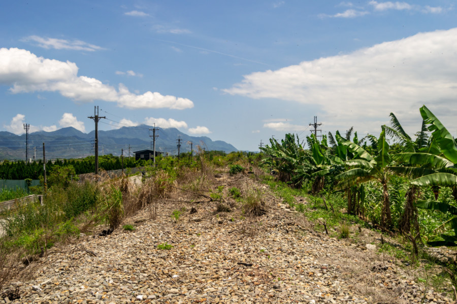
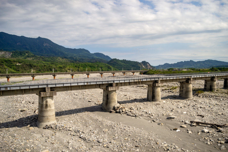
Heading south out of town I was interested in locating the former railway line, abolished during the Hualien-Taitung Line Electrification Project in 2013. The raised embankment of the former line is readily visible on satellite maps, so it was just a matter of finding an access point to take a closer look. Eventually I found a small path and climbed a short distance to take a photo of the empty track bed. Turning around, I noticed a bike path stretching southward toward the horizon. Entirely by accident I had found the newly constructed Guanshan-Yuèméi Bikeway (關山月眉自行車道), which might not have officially opened to the public at that time6.
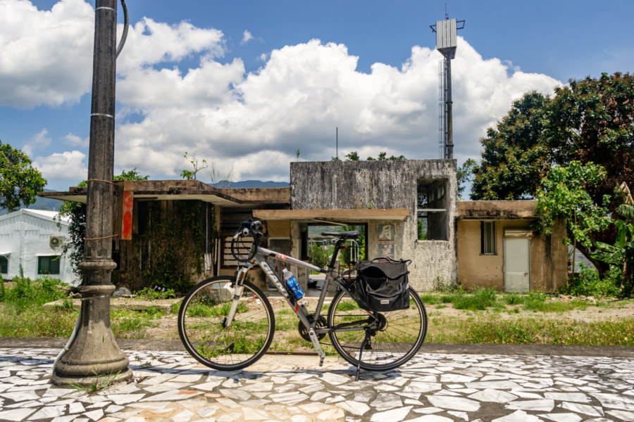
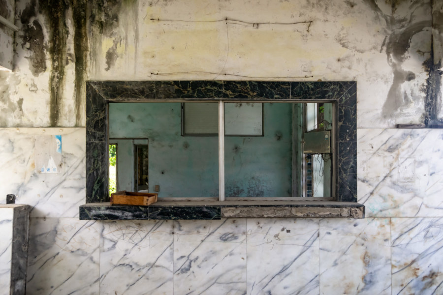
My next stop was the derelict Yuèměi Station (月美車站), abolished in 2013 along with the rest of this curved stretch of railway line. If you’ve been paying really close attention you might have detected what appears to be a typo—but the name of the station and the surrounding village (and hence the bike path) are not the same! In an interesting twist, Yuemei station was renamed to use an alternate mei in 1963 after a short-lived conflict with a station of the same name on a sugar railway line extending from Houli to Dajia in Taichung—with a stop at Yuèméi Sugar Factory (月眉糖廠). In any case, there wasn’t much to see at eastern Taiwan’s dilapidated Yuemei Station, so I stopped for a quick photo of my bicycle and panniers on the platform and kept moving.
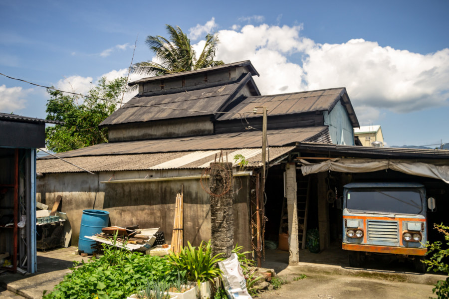
Beyond Yuemei I rejoined Provincial Highway 9, the main thoroughfare running along the Huadong Valley, and crossed the Jiālù River (加鹿溪). A second river crossing delivered me into Luye, the next township south of Guanshan, and Jǐngfēng Village (景豐村), where I spied the telltale sign of tobacco barns7, readily identified by angled ventilation complexes protruding from the rooftops. Tobacco was cultivated in many areas of the Huadong Valley throughout the mid-20th century, and derelict tobacco barns can often be found in sleepy agrarian settlements like this one.
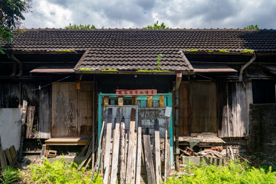
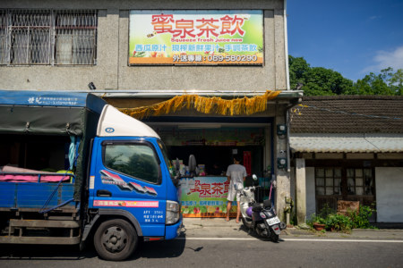
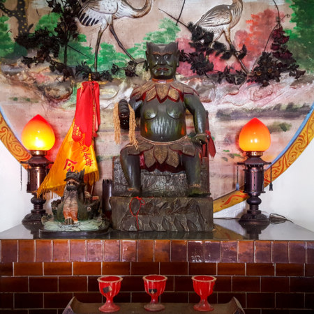
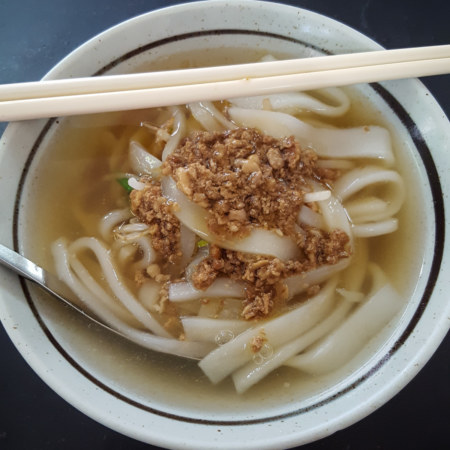
Heading east on Ruìjǐng Road (瑞景路), I cruised through the farming villages of Ruìhé (瑞和) and Ruìyuán (瑞源). Along the way I chanced upon an old Japanese dormitory with ceramic knob-and-tube wiring that I haven’t been able to properly identify, though it may have been used as a school or kindergarten prior to abandonment; Fúmíng Temple (福明宮), which venerates Shénnóng (神農), the god of farming; and a humble Hakka restaurant by the name of 200哩板條, where I stopped for a tasty bowl of noodles.
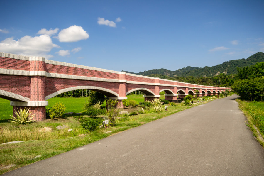
Prior to moving on I made a brief detour to check out the Èrcéngpíng Aqueduct (二層坪水橋), a scenic attraction prominently displayed on road signs throughout the area. A quick search suggests it has become quite popular on social media—especially when the surrounding fields are in bloom. The aqueduct was completed in 2016 to provide irrigation water to an elevated plateau southeast of the village, replacing a dilapidated channel constructed with stone and cement. The landscape of the southern Huadong Valley is a jumble of fluvial terraces at different elevations, necessitating such infrastructure.
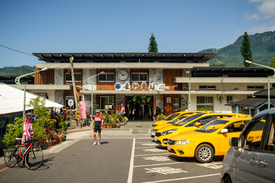
Five kilometers south of the aqueduct I arrived at the front of Luye Station (鹿野車站), where several other cyclists were disembarking for an afternoon ride. The town itself is tiny—just a line of buildings along the highway sandwiched between Beinan River (卑南溪) and the rugged hills leading up to the Luye Highlands (鹿野高台), home of the Taiwan International Balloon Festival. Beyond the station I ascended an access road leading to a plateau just south of the highlands—the former site of the Japanese immigrant village after which Luye is named.
Luye Immigrant Village (鹿野移民村) was established in 1915, part of an early wave of ethnic Japanese settlement in eastern Taiwan8. Initially Japanese farmers only came on short-term contracts, arriving in wintertime to cultivate sugarcane for the Taitung Sugar Company (台東製糖株式會社), but after 1917 many immigrants remained year-round. The population fluctuated wildly over the decades, from a peak of around 1,500 to 2,000 residents, to a low of only a few hundred9, presumably due to employment opportunities and macroeconomic conditions, among other factors. Not much remains from those days apart from the “chessboard” street layout and the location of schools and other civic structures, but the Luye District Administration Office (鹿野區役場), dating back to 1921, preserves much of its former appearance, along with a handful of residences scattered throughout the village.
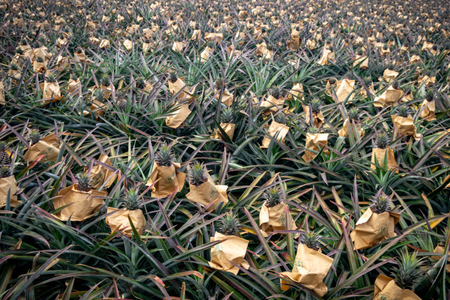
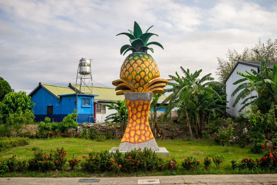
More than half a million ethnic Japanese were repatriated following the war, the vast majority of them departing by ship from Keelung beginning in March 1946, and continuing for the next several months10. The settlement, previously an exclusive Japanese domain, was repopulated by Han Taiwanese from the surrounding area, and renamed Lóngtián Village (龍田村). The new residents took up where the old ones left off, cultivating sugarcane and other cash crops11. Nowadays their main agricultural product is pineapple, as indicated by several works of public art on display along the highway, but tourism is beginning to reshape this scenic village.
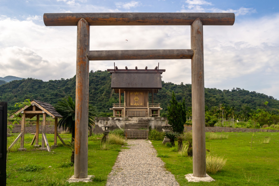
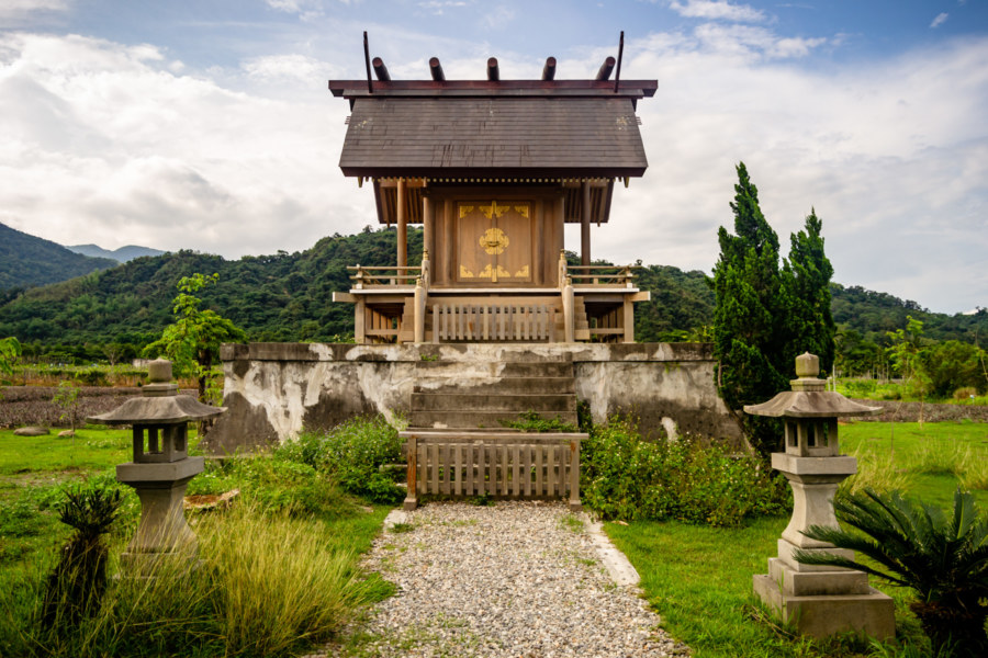
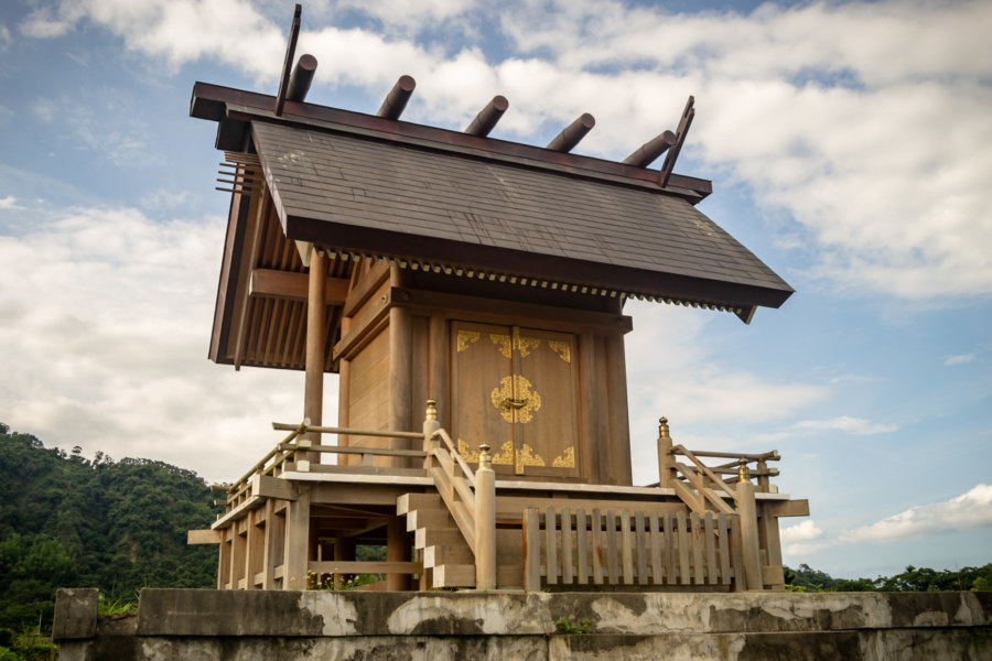
In 2012 township officials, with the assistance of the Huadong Valley tourism development association12, advanced a proposal to rebuild Luye Shinto Shrine (鹿野神社), which dates back to 193113. The idea was not without controversy—after all, State Shinto was imposed on Taiwanese society, and it is closely linked with Japanese imperialism and militarism14. Wary of appearing to glorify a violent colonial past, government officials planned for the shrine to be only a reproduction, enshrining no kami and avoiding any religious ceremonies at the site.
After securing the approval of all stakeholders, the regional tourist development association commissioned a pair of miyadaikum (宮大工, master carpenters) from Japan to reconstruct the honden (本殿) and torii (鳥居) from archival photographs, substituting imported Japanese cypress for the original Taiwanese red cypress15. Taiwanese landscape architect Guō Zhōngduān (郭中端), founder of Laboratory for Environment & Form (中冶環境造形顧問有限公司), also came on board to reshape the surrounding area and transform it into a proper attraction. It officially opened to the public in October 2015, making it only the third Shinto shrine in Taiwan to be completely rebuilt after the war16.
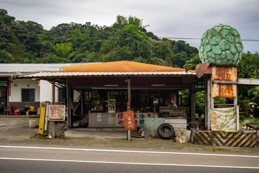
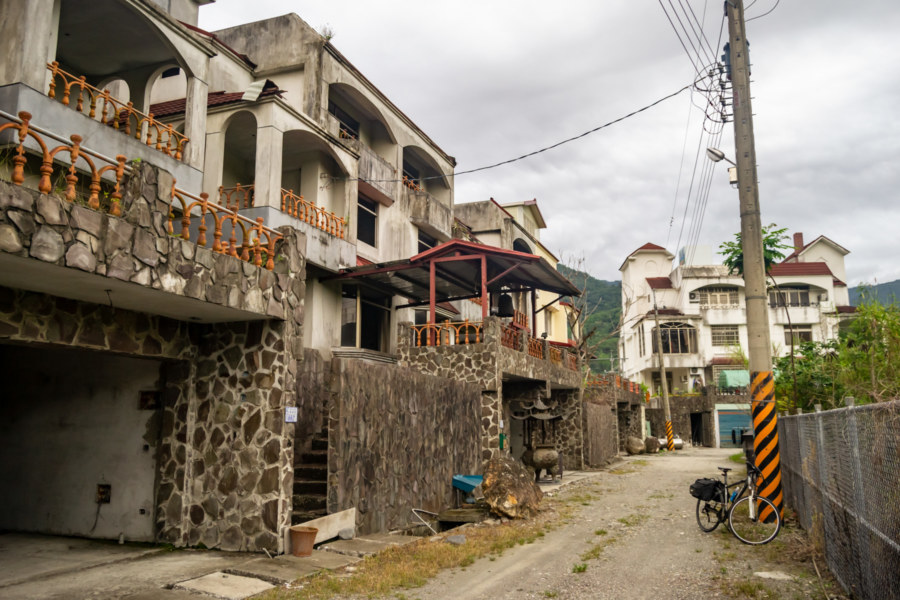
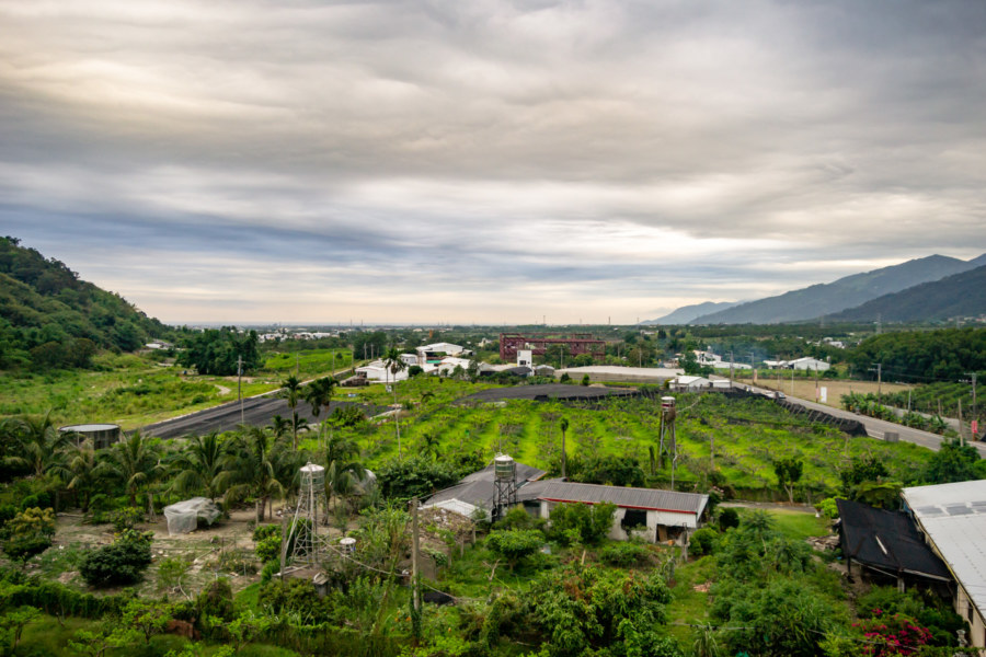
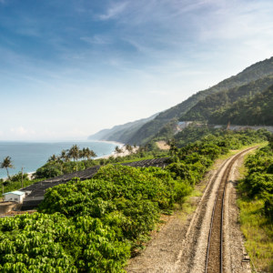
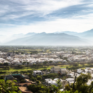
A late afternoon haze settled over the valley as I continued along Provincial Highway 9, following its twists and turns into Beinan, the rural township surrounding the central core of Taitung’s administrative capital. I breezed through the northern part of the township, home of Chulu Ranch (初鹿牧場), famous for its fresh milk, without seeing much of interest. A roadside fruit vendors with a huge sugar apple (Annona squamosa) statue caught my eye, as did an ugly half-finished townhome complex. Here I ascended to the rooftop to capture the southern end of the Huadong Valley, where the Coastal Mountain Range slides beneath the surface, and the vast Pacific Ocean beyond.
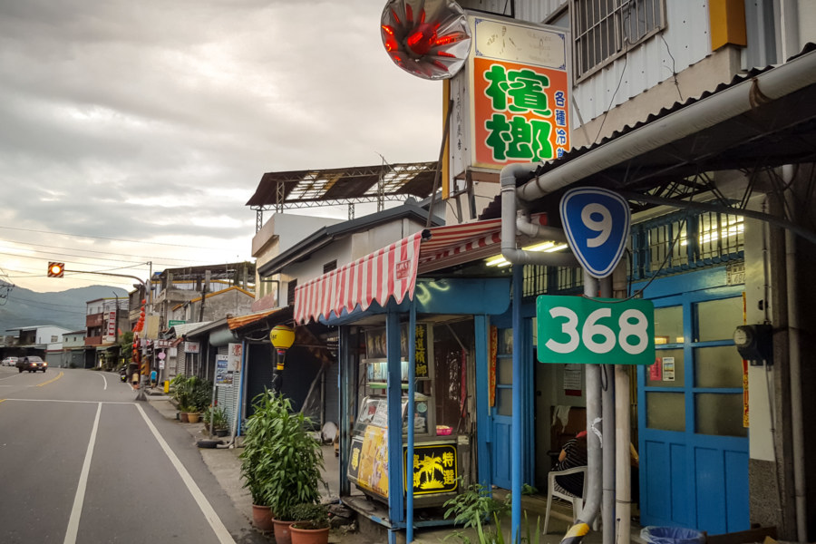
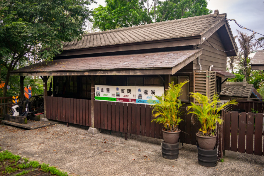
Dusk gathered and lighting conditions became increasingly unfavorable for photography, prompting me to make fewer stops. I still took some time out to swing by Old Bīnláng Station (檳榔車站), a nondescript wooden station dating back to 1922. Prior to major upgrades the Taitung Line (臺東線) ran through this part of the township, but this station (along with several others in the area) were abolished in 1982 when a more direct line from Luye to Taitung City was completed. Naturally I made a point of photographing a betel nut booth here in Binlang Village (檳榔村).
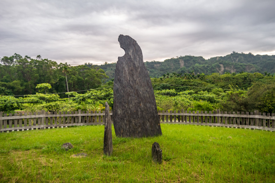
Prior to arriving in central Taitung City I made one last stop at the Crescent Moon Stone (月形石柱), a famous megalith standing near the entrance of Beinan Cultural Park (卑南文化公園), site of the largest known prehistoric settlement in Taiwan17. This standing stone was one of many documented by Japanese anthropologist Torii Ryūzō (鳥居龍藏) in 1896—and again in the 1920s by naturalist Tadao Kano (鹿野忠雄). Although you might expect this stone to have a religious function, it is generally accepted that such stones were structural components, likely of residences—and the crescent cut-out would have once supported a wooden beam. Whatever the case, it was still an impressive sight, and a nice way to wrap up this multi-day ride down the valley.
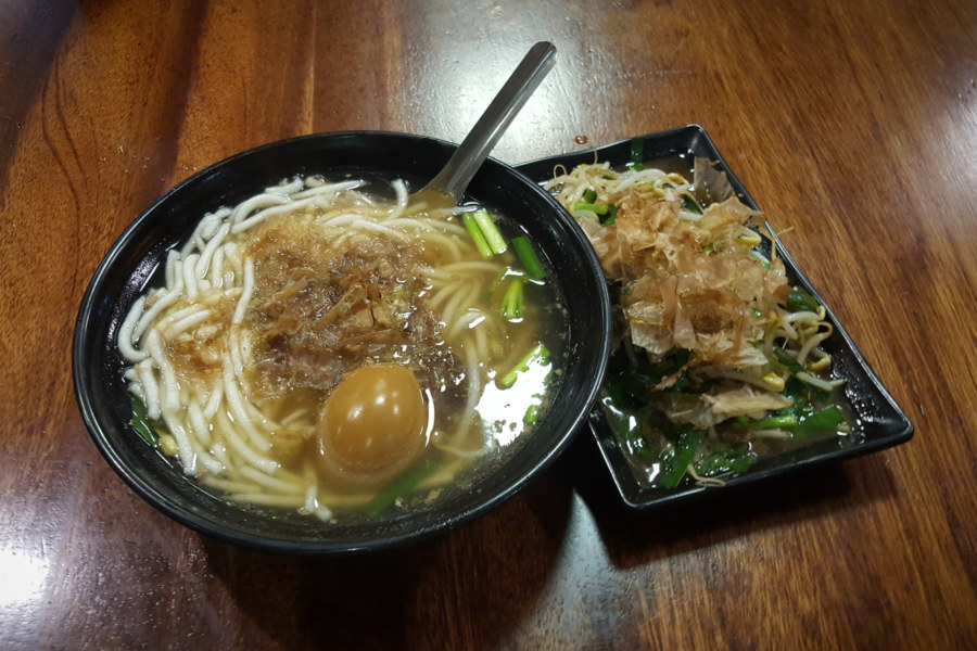
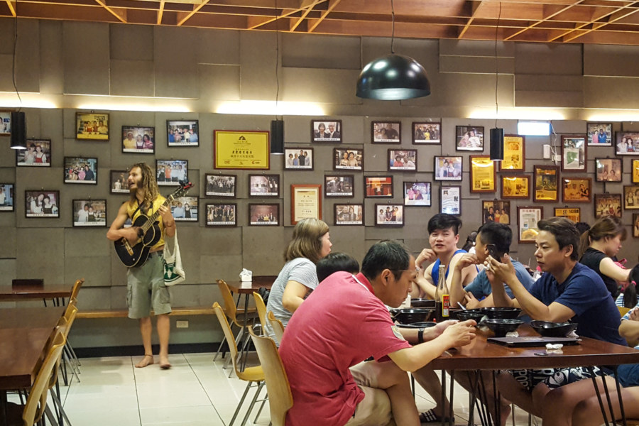
After checking into one of my usual hotels in central Taitung I went out for my customary bowl of silver needle noodles (米苔目; pinyin: mǐtáimù), a pudgy rice noodle typically served in soup with a somewhat fishy broth, at the famous old shop Lǎodōngtái (老東台). For reasons I have been unable to divine, mitaimu is closely associated with Taitung cuisine in the minds of most Taiwanese, although the dish did not originate here. In a somewhat surreal twist, a foreigner walked in during my meal and began busking inside the restaurant, which is a highly unusual occurrence in Taiwan.
Thus ends my last full day of riding on this particular road trip. I’ll return with an epilogue consisting of a short tour of the surrounding plains on the way to the train station. In the meantime, be sure to catch up with the previous day’s exploits if you haven’t already done so.
- More about the Lilong Shrine can be found here and here. ↩
- I go into much greater detail about the geopolitical context of this edict in this post about the Suhua Highway. For whatever reason the exact date and reason for a Shinto shrine’s destruction is often glossed over, so it’s not easy to pinpoint exactly when it happened. ↩
- This change of names occurs alongside the advent of the Kōminka Movement (皇民化運動), an aggressive policy of language suppression and further integration into Imperial Japan, as well as the outbreak of the Second Sino-Japanese War. Although I wasn’t able to substantiate the exact reason for the change of names it wouldn’t be at all surprising if the Japanese authorities found the existing name too Taiwanese. ↩
- More information about the Lilong Administrator’s Residence can be found here. ↩
- Much more about this neglected piece of history can be found on Michael Turton’s blog (although all the onward links are dead). This CNA news story describes a more recent trip to the site of the crash, where wreckage and signs of the search and rescue efforts can still be found. ↩
- This post from a Taiwanese blogger is similarly confused about the lack of authoritative information about the Guanshan-Yuemei Bike Path. It is especially peculiar given how well the government promotes the Guanshan Circular Bikeway (關山環鎮自行車道), apparently the first recreational bike path in Taiwan. ↩
- I have written at length about tobacco barns (菸樓) and the tobacco industry of Taiwan. If you’re curious to read more about how they operated, refer back to this post from my second day of riding. ↩
- Previously this plateau was mainly used as hunting grounds by the Indigenous people of the area, who valued its rich stock of wild boar and sika deer. It seems likely this is how Luye, or Shikano in the original Japanese, got its name—it literally means “deer wilderness”. And yes, the “shika” in the name and “sika”, as in the type of deer, have a common origin in the kun’yomi reading of the kanji for “deer”. ↩
- By some accounts Luye was the largest Japanese immigrant village in Taitung County, but there were only a handful of others here at the southern end of the valley. One was situated just north of the highlands, also in Luye, and several more could be found on the plains west of Taitung City. Note: some of the population figures are derived from this post about the Luye Shinto Shrine. ↩
- Many of those ethnic Japanese forced to repatriate to Japan were born here and had never left Taiwan. This displaced generation is known as the wansei, literally “Taiwan-born”. Several dates and figures in this section are taken from When Empire Comes Home: Repatriation and Reintegration in Postwar Japan by Lori Watt. This article in the Japan Times describes the experience of one particular family repatriated from Guanshan, where this day’s ride began. ↩
- Taitung Sugar Factory officially closed in 1996, and it’s fair to assume sugarcane cultivation in the valley was already on the decline by that time. ↩
- Many of the details in this section are derived from a Japanese language article, A Case Study of Rebuilding of Shrine built in Taiwan Under Japanese Rule, by Noguchi Eisuke. The author suggests that Chén Chóngxián (陳崇賢), director of the Huadong Rift Valley National Scenic Area Management Office (花東縱谷國家風景區管理處), was the main driver of this ambitious project, laying the groundwork and getting stakeholders on board before adeptly allowing local politicians take credit for the idea. Chen had previously worked on the Hatta Yoichi Memorial Park (八田與一紀念公園) in Chiayi and was motivated to develop attractions in eastern Taiwan specifically for the Japanese tourist market. ↩
- Luye Shinto Shrine was originally constructed in the early 1920s before moving to its current location in 1931. Following the war the honden was transformed into an altar for Tǔdìgōng (土地公), generally known as the Land God, and it remained the center of worship for the community until the establishment of Kūncí Temple (崑慈堂) next to the shrine. Sometime after the promulgation of the aforementioned 1974 edict the former shrine was reduced to only the pedestal and a pair of stone lanterns. Prior to the restoration effort it was the site of a small pavilion, as pictured in this article from 2008. For more photos and information about the shrine check this extensive English language article by Josh Ellis or this Chinese language report. ↩
- More than 200,000 Taiwanese soldiers served in the Japanese armed forces, all of whom would have participated in ceremonies at their local shrine prior to shipping out. Similarly, vows were made that the spirits of fallen soldiers would return to the shrines in their places of origin, so memorial services were also conducted at these sites. ↩
- Taiwan instituted a ban on logging natural forests in 1991 and Taiwanese red cypress remains an endangered species. Illegal logging remains a problem in Taiwan, and a black market trade in protected wood exists, but there’s no way a government-sponsored project would want to be involved in anything like that. ↩
- Three newly rebuilt Shinto shrines opened to the public in 2015, all around the same time, and for different reasons. The first of these was the Japanese Aluminum Company’s Port of Hualien Factory Shinto Shrine (日本鋁株式會社花蓮港工場構內社), which opened in June, as documented in this extensive post about the Suhua Highway. This was followed in August by the Gāoshì Shinto Shrine (高士神社) in the mountains of Pingtung, rebuilt at the behest of the Paiwan people. Whereas the other shrines are strictly for show, ceremonies take place at the Gaoshi Shrine, specifically to honor Taiwanese Indigenous soldiers who perished in the war. Luye Shinto Shrine debuted in October as the first shrine rebuilt from archival photographs—the original appearances of the other two were unknown, and neither make claims of historical accuracy. ↩
- For more information about the Crescent Moon Stone consult this official source or this discussion of some local legends related to the area. ↩



Buenisimo fotos. Nice.