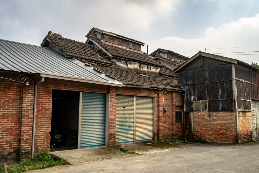
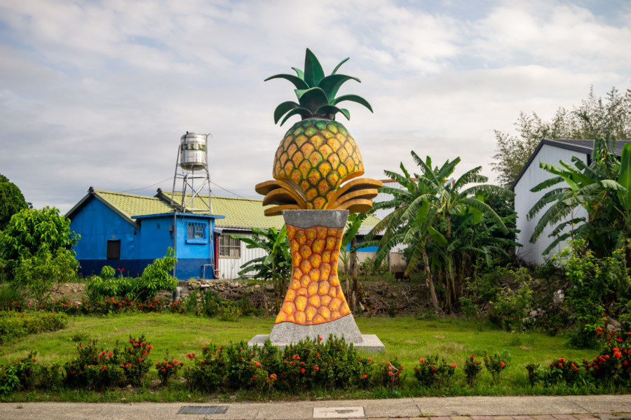
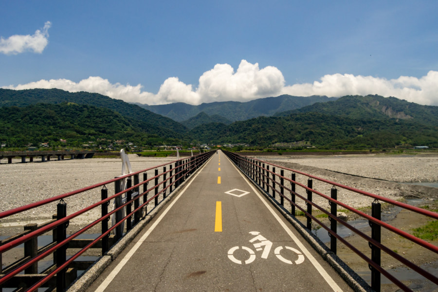
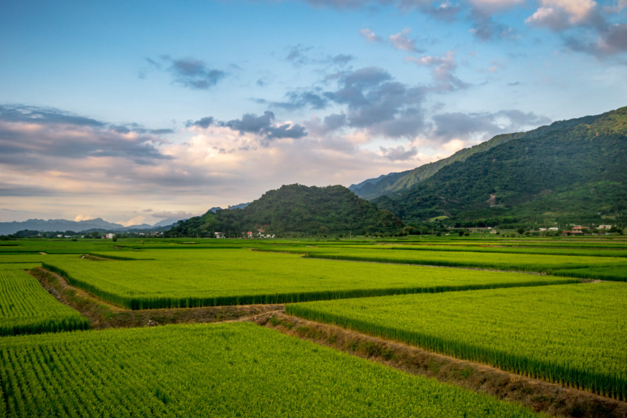
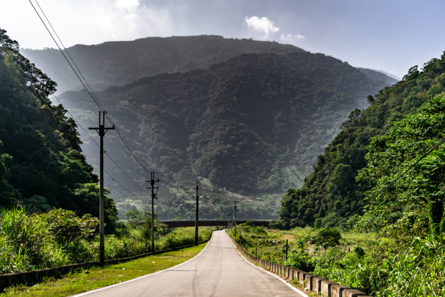
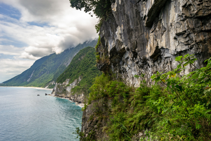
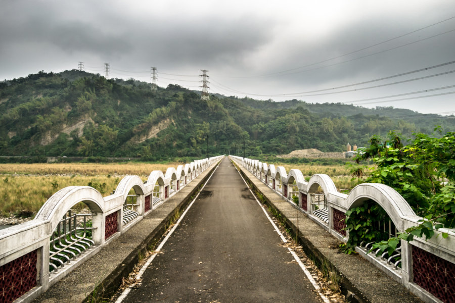
Linnei is a small rural township located on the south side of the Zhuoshui River in northeastern Yunlin, Taiwan. Despite its strategic position on the Western Trunk Line this township remains mostly pastoral and undeveloped, with little industrial activity compared to neighboring Douliu, the administrative seat of the county. Population in the township peaked at nearly 23,000 in the 1970s and has been declining ever since, recently falling below 18,000 as rural flight continues apace. Nowadays the local economy mostly revolves around agricultural products such as rice, bamboo, and tea, but Linnei was once a major center of tobacco cultivation, traces of which can be found scattered across the countryside.

Exposed on the surface of the world beneath the sun, the moon, and the stars, breathing the fresh air and wondering. See also: mountains, skylines, and (the life) aquatic.
Adjacent Terms
Huadong Valley Ride 2018: Guanshan to Taitung City
My fifth day of riding the Huadong Valley in 2018 began in Guanshan and ended in Taitung City, approximately 45 kilometers further south. Although there were several uphill segments this was one of the least demanding rides of the entire trip, partly because I had a good night’s rest, but also due to some cloud cover moderating the influence of the tropical sun. After rising I cycled over to Little Star Breakfast shop (小星星早餐店) to try their fluffy handmade dànbǐng 蛋餅 (a crepe-like egg roll with various fillings). Feeling recharged, I set out to catalog more of eastern Taiwan’s historical relics and natural wonders.
Huadong Valley Ride 2018: Yuli to Guanshan
Day four of riding through the Huadong Valley of eastern Taiwan in 2018 began in Yuli, the midpoint of this bicycle trip from Hualien City to Taitung City. From the weather report I knew I’d have another challenging ride ahead—yet again the mercury was due to exceed 35 degrees. Luckily I was in no great rush, as I had allocated an entire week for a trip that experienced riders could easily manage in two days. I made good use of that extra time, making numerous stops and detours to document some of the many historic and cultural sites along the way, many of them quite obscure. I ended the day in Guanshan, slightly more than 40 kilometers down the valley.
Yuli Shinto Shrine 玉里神社
Yuli Shinto Shrine 玉里神社 is a Japanese colonial era historic site in Yuli, the largest town in the middle of the Huādōng Valley 花東縱谷 of eastern Taiwan. Formally known as Yuli Shrine 玉里社 (Tamasato-sha in the original Japanese), it was constructed in 1928, the third year of the Shōwa era. The vast majority of Taiwan’s several hundred Shinto shrines were destroyed in the decades following the Japanese withdrawal—but enough of this shrine remained to justify its official designation as a cultural asset in 2008. Since then some effort has been undertaken to restore the site, which occupies a hilltop at the western edge of town, and it now ranks among the most well-preserved in the remote eastern part of the country.
Huadong Valley Ride 2018: Fenglin to Yuli
Day three of cycling down the Huādōng Valley 花東縱谷 began with a hearty Taiwanese breakfast not far from the train station in Fenglin, Hualien. I was still recovering from a brush with heatstroke (a story documented in the previous entry in this series) so a traditional breakfast of dànbǐng 蛋餅 (pan-fried egg rolls) and sweet black tea really hit the spot. A glance at the weather forecast indicated another full day of sunny skies and 35°C temperatures on the road—and even fewer opportunities for air-conditioned rest stops. I wasn’t too worried though; my loosely-planned itinerary of former Shinto shrines, industrial ruins, and other historic sites didn’t look all that challenging. Ultimately I ended up putting 60 kilometers of valley behind me, ending the day in Yuli.
Nantou Road Trip 2015: Sun Moon Lake to Taichung
This post is the final entry in a series documenting several days of riding around Nantou in October 2015. On the last morning of this trip I woke in Puli, close to the geographic center of Taiwan. I only had to return the scooter to the rental shop in Taichung sometime after nightfall so I decided to take a more circuitous route and check out many sights along the way. After a quick breakfast I headed south, briefly stopping by the shores of the majestic Sun Moon Lake (日月潭, covered in the previous entry in this series), and ascended a winding mountain access road leading into Xinyi, one of several majority Taiwanese Indigenous districts in this landlocked county.
Suhua Highway Road Trip 2018 蘇花公路機車之旅
In May 2018 I seized an opportunity to ride the beautiful and dangerous Suhua Highway (蘇花公路) from Hualien City to Su’ao in Yilan. I had previously taken this same route on bicycle back in 2013—a harrowing trip I’ll never forget—so I was eager to drive a scooter and experience it at a different pace. I also visited a number of historic sites along the way, including several former Shinto shrines, as part of an ongoing project documenting various elements of the Japanese colonial legacy in Taiwan. Much of the highway itself also owes something to Japanese engineering, having opened to vehicular traffic in 1931, but it has been continuously repaired and expanded since then.
Nantou Road Trip 2015: Taichung to Puli
In October 2015 I set out from Taichung to attend a music festival in Nantou, the landlocked county in the mountainous interior of Taiwan. Since I don’t often have an opportunity to ride a scooter I allocated some extra time for onward exploration and ended up visiting many interesting and wonderful places, many of them quite obscure. What follows is the first part of a mostly visual record of this road trip around the geographic center of Taiwan…
Xiluo Bridge 西螺大橋
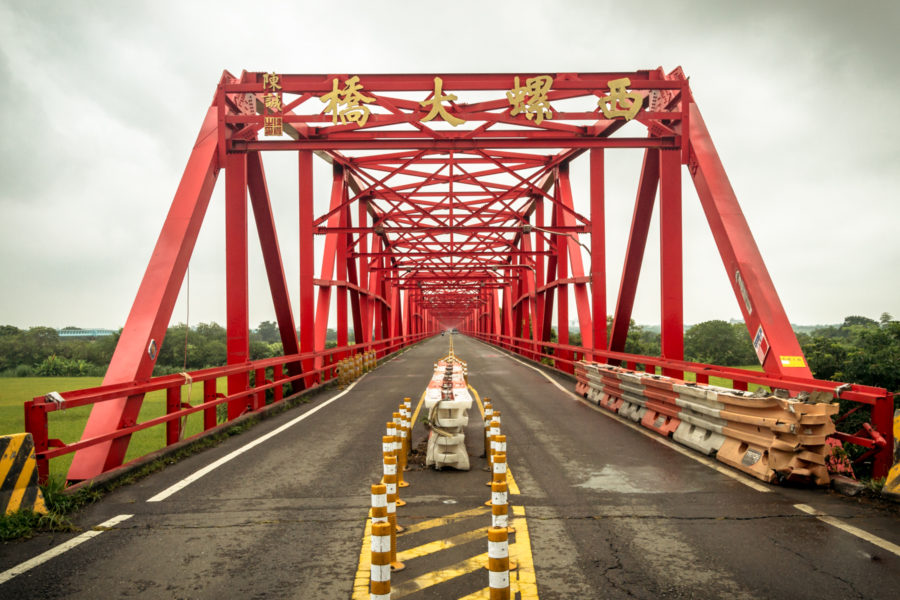
Xiluo Bridge (西螺大橋) spans the mighty Zhuóshuǐ River (濁水溪), the unofficial boundary between north and south Taiwan, connecting the counties of Changhua and Yunlin. Construction began in 1937 under Japanese colonial rule but came to a halt after the attack on Pearl Harbor as the allotted steel was needed for the war effort. In 1952 the bridge was completed under the incoming Chinese Nationalist government with American steel and financial aid. At 1,939 meters in length it was one of the longest bridges in the world when it was finished—second only to the Golden Gate Bridge at that time—and became such a source of national pride that it appeared on Taiwanese bank notes (specifically 第一套橫式新臺幣) and stamps in the 1960s. Originally it was equipped with sugar railway tracks but these have been removed and nowadays only light road traffic is permitted to cross the bridge.
Postcards From Badouzi 八斗子明信片
Near the end of my first summer in Taiwan I visited Bādǒuzi (八斗子), a rocky headland, coastal park, and major fishing port at the far eastern edge of Keelung. I went there on impulse, not knowing what to expect, just to see what was out there. Google Maps and Taiwan’s excellent public transit system make random explorations like this almost effortless: pick a point of interest and follow the directions—the digital equivalent of throwing a dart at a map. This post features a selection of retouched photos from this expedition alongside the sort of explanatory text I wouldn’t have been able to write back in 2013. Fair warning for arachnophobes: this post contains several gratuitous photos of giant spiders and other creepy crawlies!
