Huadong Valley Ride 2018: Guanshan to Taitung City

Luye Pineapple Statue

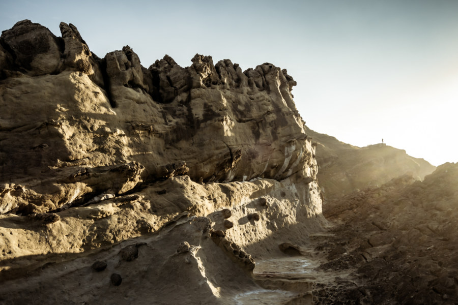
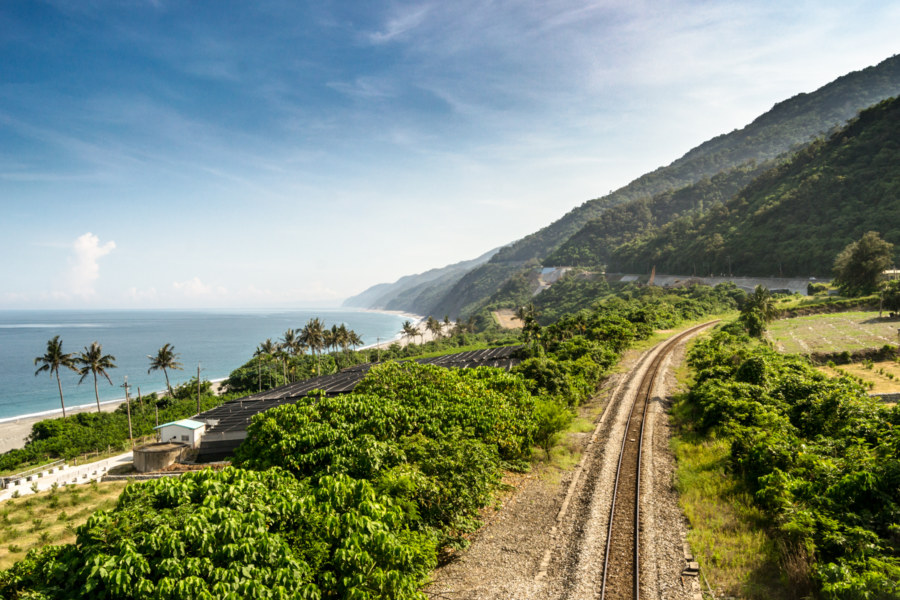
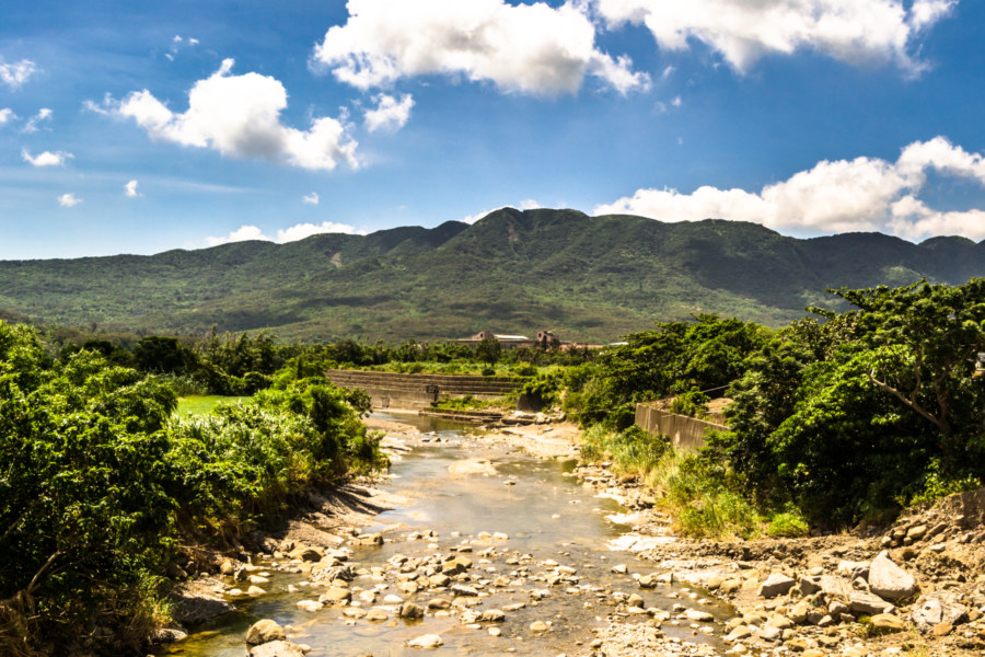
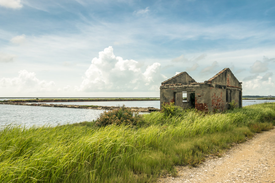
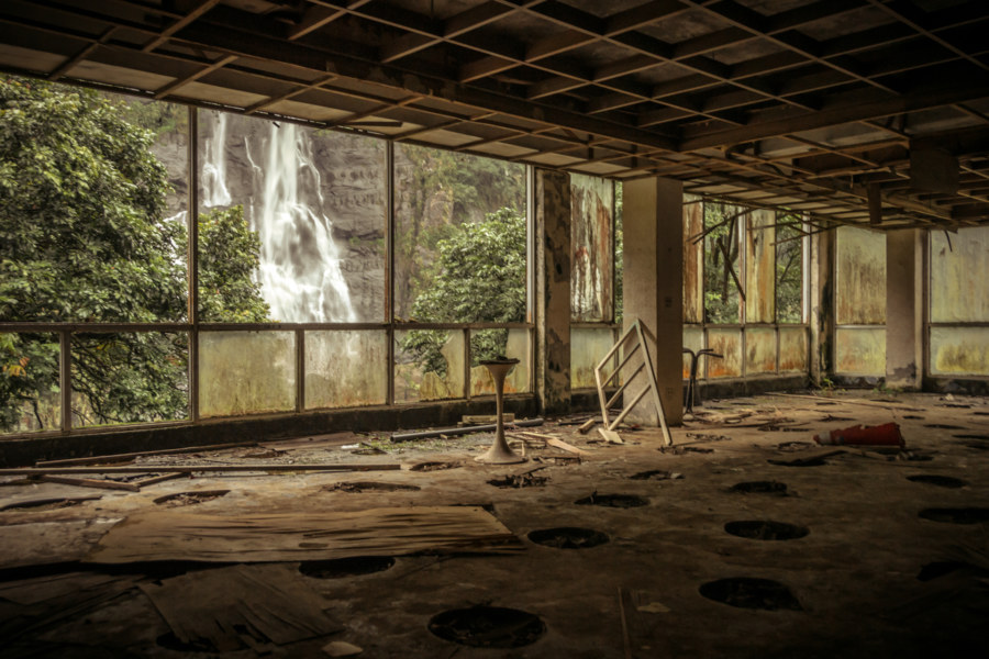
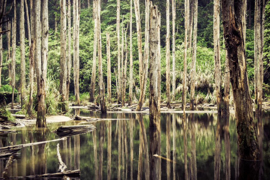
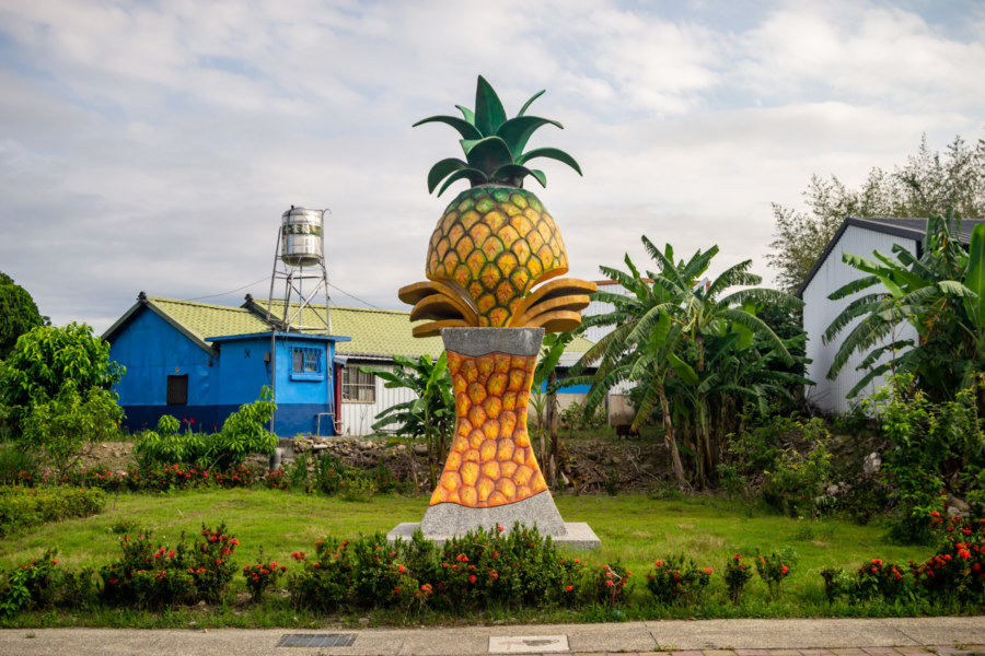
My fifth day of riding the Huadong Valley in 2018 began in Guanshan and ended in Taitung City, approximately 45 kilometers further south. Although there were several uphill segments this was one of the least demanding rides of the entire trip, partly because I had a good night’s rest, but also due to some cloud cover moderating the influence of the tropical sun. After rising I cycled over to Little Star Breakfast shop (小星星早餐店) to try their fluffy handmade dànbǐng 蛋餅 (a crepe-like egg roll with various fillings). Feeling recharged, I set out to catalog more of eastern Taiwan’s historical relics and natural wonders.

Postcards From Badouzi 八斗子明信片

Sundown over the coast of Badouzi

Near the end of my first summer in Taiwan I visited Bādǒuzi (八斗子), a rocky headland, coastal park, and major fishing port at the far eastern edge of Keelung. I went there on impulse, not knowing what to expect, just to see what was out there. Google Maps and Taiwan’s excellent public transit system make random explorations like this almost effortless: pick a point of interest and follow the directions—the digital equivalent of throwing a dart at a map. This post features a selection of retouched photos from this expedition alongside the sort of explanatory text I wouldn’t have been able to write back in 2013. Fair warning for arachnophobes: this post contains several gratuitous photos of giant spiders and other creepy crawlies!

Southern Taiwan Ride 2015: Dawu to Taitung City

Looking south from Taimali along the coastal highway in Taitung

My last big day of riding around southern Taiwan in June 2015 began in Dawu, Taitung, with only about 55 kilometers to go before arriving in Taitung City. I had been out in the sun far too much the previous day and was feeling rather sluggish and a bit sick so I didn’t end up taking any side trips into the mountains as I made my way north. Even so, the scenery was fantastic, and while I won’t have as much to write about this particular day of my trip, I have plenty of beautiful photographs to share.

Southern Taiwan Ride 2015: Manzhou to Dawu

On the road again in Manzhou Township

My fifth day of riding around southern Taiwan in June 2015 delivered me to the most remote parts of the island’s 1,139 kilometer-long coastline. On the previous day I rode from Fangliao, on the southwestern coast, around Hengchun and into the foothills of the Central Mountain Range 中央山脈 to reach Manzhou, one of the last places to find lodging before forging on to Taitung. I had already taken this route while riding all around Taiwan in 2013 so I was familiar with the territory, but that first tour was so rushed that I hadn’t been able to enjoy the scenery. (Actually, I had been outrunning a typhoon the last time I was here—but that’s a story not yet told on this blog.) This time around my intent was to take it slow and explore more of this obscure part of coastal Taiwan.

Qingkunshen Fan-Shaped Saltern 青鯤鯓扇形鹽田

Beneath an electric blue sky

The southwestern coastal region of Taiwan is salt country. From Budai in Chiayi down through Beimen, Jiangjun, and Qigu in Tainan, an incredible expanse of manmade salt evaporation ponds sprawl across a completely flat and almost featureless landscape, much of it reclaimed from the briny lagoons that line the coast. Salt has been produced here for more than three centuries by channeling seawater into artificial enclosures and letting the strong tropical sun do the rest. Taiwan’s accession to the WTO in 2002 doomed the industry and all remaining salterns (or salt fields, if you like) were decommissioned that same year. This led to the abandonment of the unique Qīngkūnshēn Fan-Shaped Saltern (青鯤鯓扇形鹽田), now a surreal reminder of the history of salt production in southern Taiwan.

A Foggy Hike in Yangmingshan 陽明山

Coming down near Xiaoyoukeng

These photographs were taken in early October 2013 while hiking around Yángmíngshān National Park (陽明山國家公園). After meeting up with a friend we took a bus from Jiantan Station in Shilin to Lengshuikeng with the intention of checking out Milk Lake (Niúnǎichí 牛奶湖). Racing up the meandering mountainside roads we soon found ourselves immersed in an interminable fog. Debarking at the bus stop, with hardly another soul around, we decided to wander around and see what we could make of our time in Yangmingshan.

Explorations of the Pacific Edge 1

The easternmost tip of Taiwan

These photos were taken two years ago after cycling through the Old Caoling Tunnel 舊草嶺隧道 into Toucheng, Yilan. The first set of six photos were all shot along the rugged shoreline of the Láilái Geological Area 萊萊地質區 while the last four were captured at Mǎgǎng 馬崗, a half-abandoned fishing village on Cape San Diego 三貂角 (pinyin: Sāndiāojiǎo), the easternmost tip of Taiwan. All were captured in Gongliao. From here the vast Pacific Ocean stretches all the way to Baja California in Mexico.

Crossing the Central Mountain Range of Taiwan 中央山脈機車之旅

Crossing the central mountain range of Taiwan

In the summer of 2014 I was nearing the end of my first sojourn in Taiwan. By the beginning of August I would be in Canada for a wedding in the family with no idea what I’d be doing after that. Since I wasn’t sure if I would be returning to Taiwan I made vague plans to go on a road trip. With only about a week to go before my departure the weather took an ominous turn as Typhoon Matmo 麥德姆 barrelled toward the island. On July 20th, with the pressure of time bearing down on us, my girlfriend and I hopped on a 125cc scooter—the same kind of dinky, puttering scooter you see people riding around any Taiwanese town—and set out from Changhua with the goal of crossing the Central Mountain Range 中央山脈 at Wǔlíng 武陵, the highest paved (and publicly-accessible) mountain pass in Taiwan at 3,275 meters above sea level. With luck, time and weather permitting, we’d be able to visit Héhuānshān 合歡山 and maybe even drive down into the amazingly scenic Taroko Gorge 太魯閣峽谷 on the east side of the island.

Wulai Qingpu Hotel 清瀑大飯店

An abandoned hotel at Wulai Falls

While on a day trip to Wulai at the very end of 2013 I was delighted to stumble upon one of the most picturesque abandonments I have had the pleasure of exploring in Taiwan. Mere steps from the southern terminus of the Wulai Sightseeing Tram 烏來觀光台車 one will find a viewing platform across from Wulai Falls 烏來瀑布, one of the most scenic waterfalls in the greater Taipei area. What you might not realize—unless you have a sixth sense for all things abandoned—is that the viewing platform doubles as the rooftop of a derelict hotel with a rather stunning view.