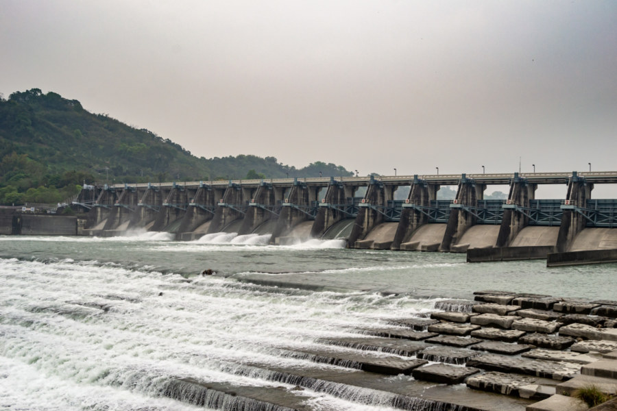
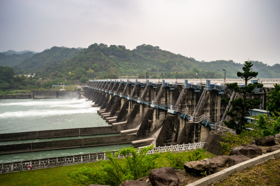
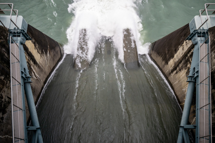
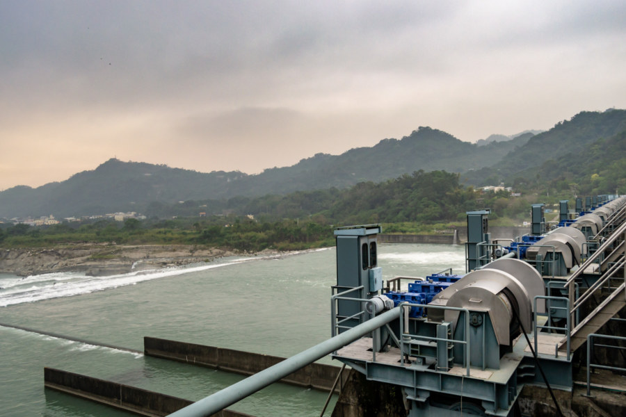
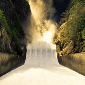
Shigang Dam 石岡水壩 is a barrage dam on the lower reaches of the Dàjiǎ River 大甲溪 in Shigang, Taichung, Taiwan. It was constructed between 1974 and 1977, not long after the completion of the Techi Dam 德基水壩, a far more ambitious hydroelectric project further upstream. Intended mainly for flood control and irrigation purposes, it was heavily damaged in the devastating 921 Earthquake of 1999 and later repaired. Despite its diminished capacity, Shigang Dam continues to serve an important function in regional water distribution across Taichung.
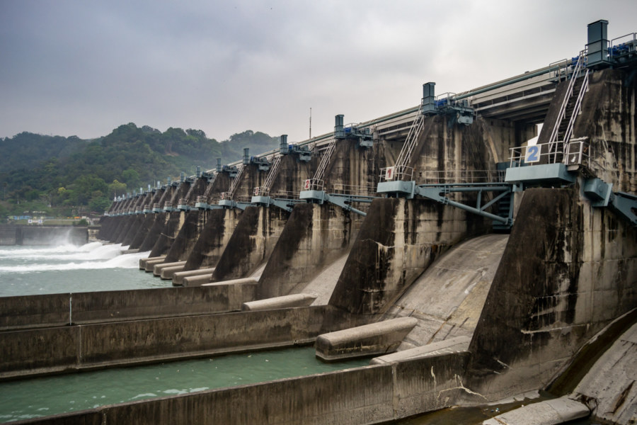
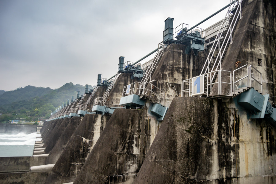
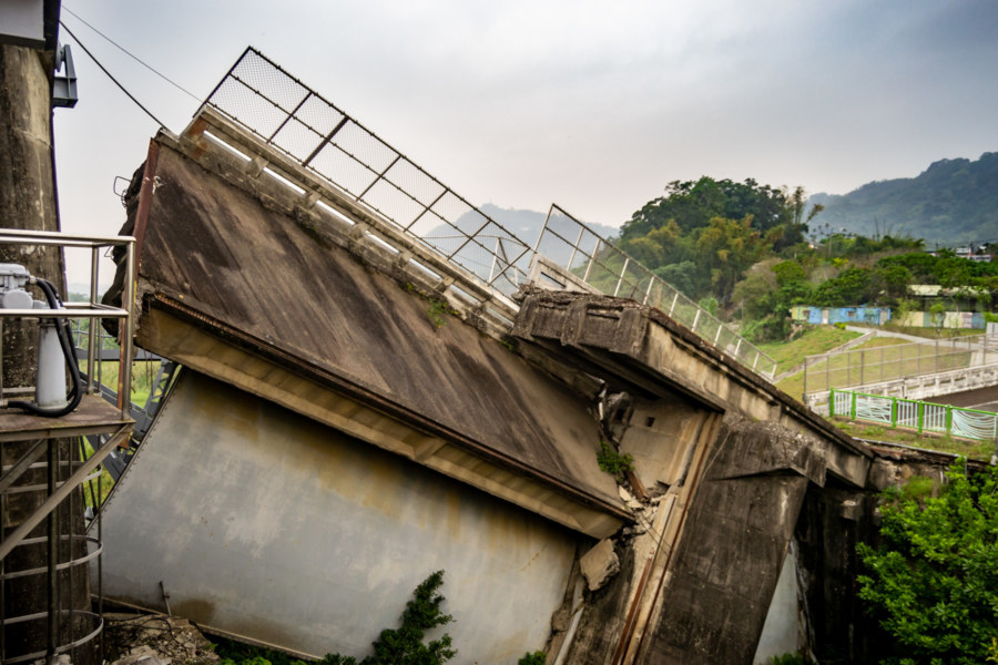
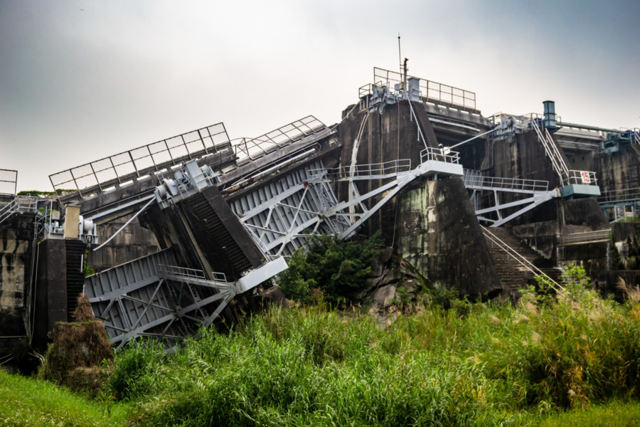
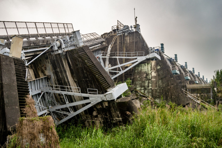
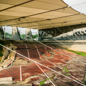
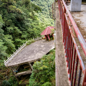
Concrete gravity dams are generally resistant to earthquake damage—but the Chēlóngbù Fault 車籠埔斷層, which caused the 921 Earthquake, passes directly beneath the north end of Shigang Dam1. When it ruptured, the ground beneath the dam was dislocated by several meters, causing the complete collapse of the three northernmost spillways, and deforming much of the rest of the body of the dam. Luckily water levels in the reservoir behind the dam were low, and no serious flooding resulted from the dam failure, although Taichung subsequently experienced water shortages.
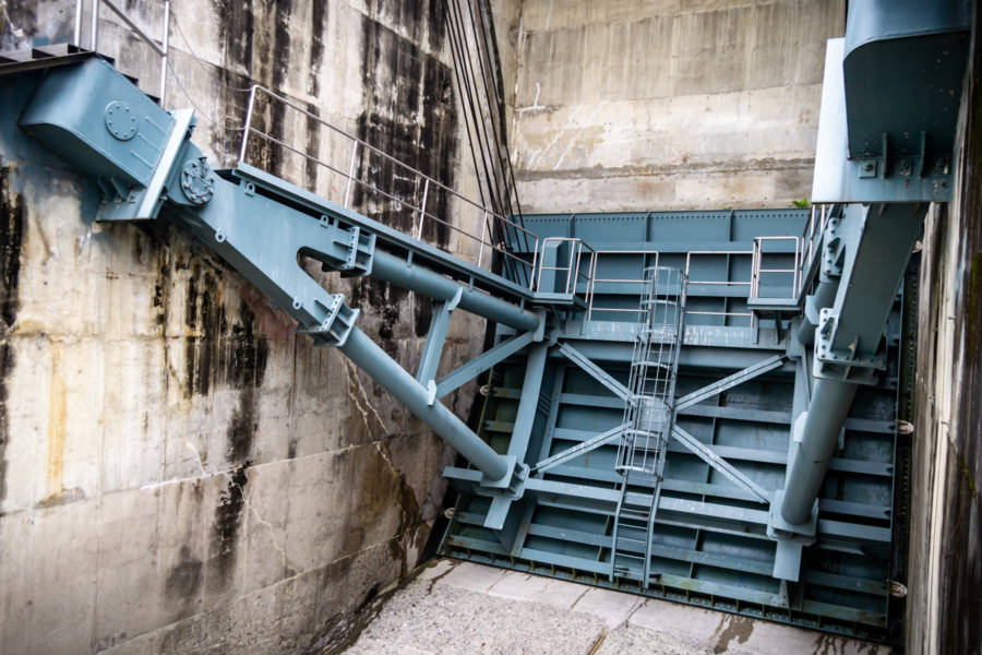
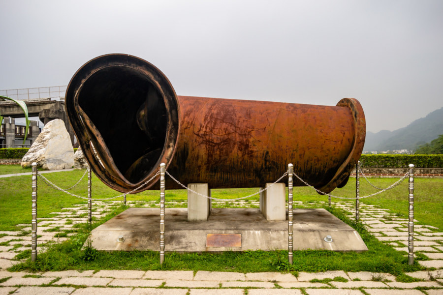
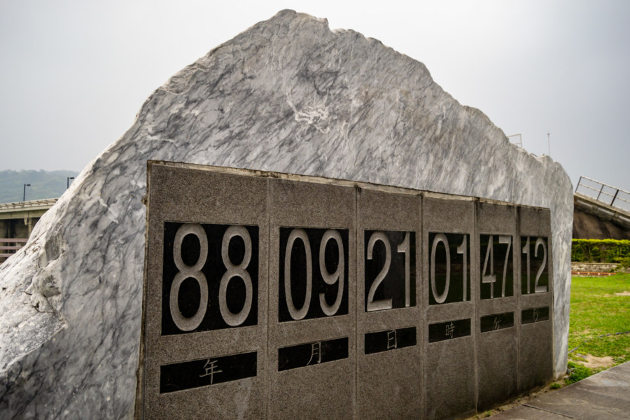
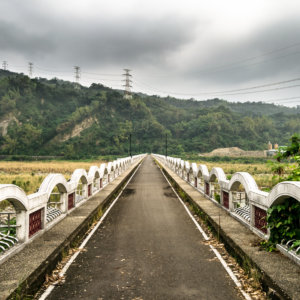
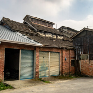
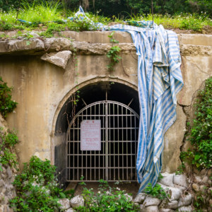
Shigang Dam underwent major repairs in the aftermath of the quake but the most damaged section was surrounded by an embankment cofferdam and preserved as a monument to the disaster. Nowadays the area is a public park, and visitors are welcome to cross the dam on foot to view relics such as a bent pipe and a stone monument depicting the exact moment the earthquake struck.
The reservoir behind Shigang Dam had an original capacity of 3,380,000 m3, now reduced by half. While it no longer has much of a flood control function, it remains connected to an extensive irrigation system sprawling southward across the Taichung Basin 臺中盆地. It also supplies several historic irrigation works, among them Húludūn Canal 葫蘆墩圳 (constructed in 1733) and Bābǎo Canal 八寶圳 (1824).
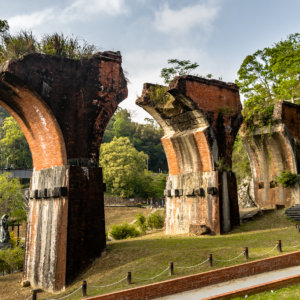
Shigang Dam is also located next to the Dongfeng Green Corridor Bikeway 東豐自行車綠廊, which branches off from the better-known Houfeng Bikeway 后豐鐵馬道 in nearby Fengyuan, both of which follow former railway lines2. It’s an easy stopover when plying the bikeway or taking Provincial Highway 3 and certainly worth at least a quick visit.
- This was not known at the time the dam was built, so the designers shoulder no responsibility for this. The fault was only discovered and traced after the 921 Earthquake. ↩
- Dongfeng Bikeway follows the Dongshi Line 東勢線, which ran through Shigang to Dongshi from 1959 to 1991, primarily to provide access to hydroelectric projects and forestry resources in the interior. ↩
Looks like you were in my old neck of the Taiwanese woods. I went to the dam often (by bike and car) when I was living in Fengyuan.