Postcards From Pingtung City 屏東市明信片

Mazu Temple in Pingtung City

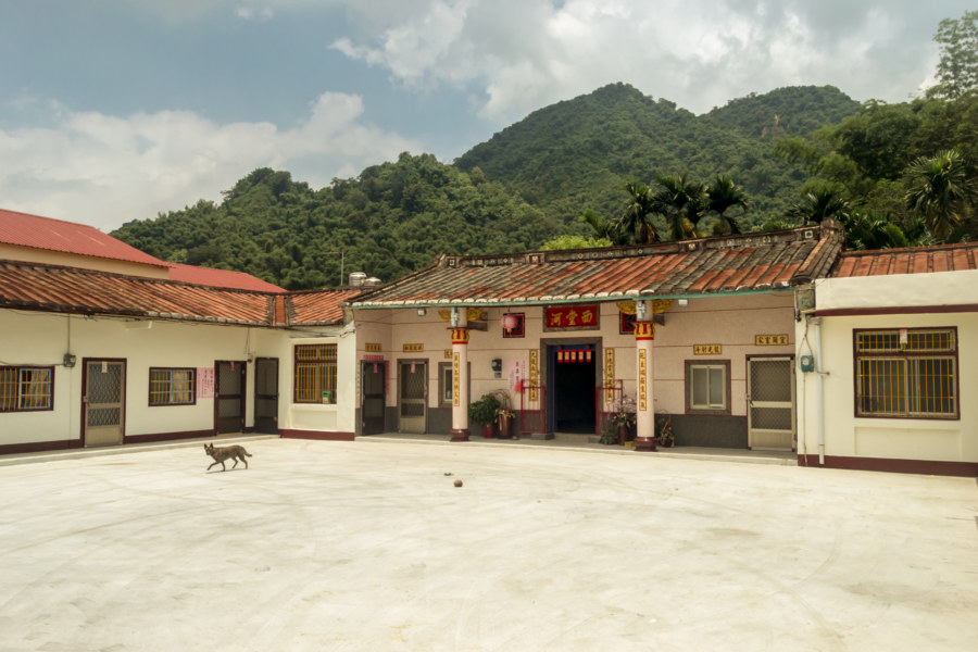
One of the pleasures of bicycle touring in Taiwan is the freedom to change plans on impulse. On my second day of a trip down south in June 2015, having previously cycled across Kaohsiung from Tainan, I opted to hang out and see more of Pingtung City. A dire weather forecast calling for bouts of torrential rain had already introduced some uncertainty, but I was also curious about this city of 200,000, about which almost nothing is written in English. Finding an interesting place to stay sealed the deal—and so I checked out of a grimy hotel near the train station after breakfast, moved my stuff to the new place, and spent the day exploring the administrative center of Pingtung, the southernmost division of Taiwan.

Southern Taiwan Ride 2015: Tainan to Pingtung City

A pink sanheyuan in Alian District

Bicycle touring is one of the best ways to experience Taiwan. I don’t have an opportunity to go touring as much as I’d like but managed to find some time last year, in June of 2015, to embark upon a multi-day bicycle trip around southern Taiwan. My intention was to cover some of the same territory that I had rushed through on my first bicycle trip down south in 2013. I ended up racing a typhoon from Kenting to Taitung City that year—so the chance to explore the backroads of Pingtung at a more relaxed pace really appealed to me. I started my journey in Tainan, my favourite city in Taiwan, and cycled through Kaohsiung to Pingtung City, putting about 70 kilometers behind me. Gathered here are some photos from the first day of this trip, continued here.

Taiwan Road Safety Dummies 1 台灣的工程用假人一號

Serious safety on the streets of Taichung

Road safety dummies are a distinctive feature of the streets of Taiwan. In Chinese they are generally known as engineering dummies 工程用假人 (pinyin: gōngchéngyòng jiǎrén), warning dummies 警示假人 (jǐngshì jiǎrén), or, more formally, electric flag-bearers 電動旗手 (diàndòng qíshǒu). According to law these robotic figures must be setup at all roadside construction sites to provide some measure of protection for workers as well as warn passing motorists and pedestrians of potential hazards. When hooked up to a car battery their stubby arms pump up and down, waving flags and other objects to direct traffic. Construction companies typically decorate these dummies with safety vests and hardhats, though it is not common for workers to express some creativity and personalize their dummies. Some of them even have individual names and histories! The rest of this post features photographs of some of the many road safety dummies I have encountered over the years.

Postcards From Zhongli 中壢明信片

Zhongli Station from the sky

I resided in Zhongli, Taoyuan, for two months at the very end of 2015 for reasons outlined in my first dispatch. In short: I wanted to try out living in another city in Taiwan and had a few good friends in the area, one of whom is fellow Canadian blogger Josh Ellis. In my time in Zhongli I captured numerous scenes from everyday life in this burgeoning conurbation of half a million. This post is meant to convey a sense of what it was like to live there for a while—just as I previously did for my time in Wenshan District, Taipei. It is not meant to be a comprehensive guide or a review; think of this as a loose collection of snapshots and impressions of a mid-sized Taiwanese city not commonly documented in English.

A Foggy Hike in Yangmingshan 陽明山

Coming down near Xiaoyoukeng

These photographs were taken in early October 2013 while hiking around Yángmíngshān National Park (陽明山國家公園). After meeting up with a friend we took a bus from Jiantan Station in Shilin to Lengshuikeng with the intention of checking out Milk Lake (Niúnǎichí 牛奶湖). Racing up the meandering mountainside roads we soon found ourselves immersed in an interminable fog. Debarking at the bus stop, with hardly another soul around, we decided to wander around and see what we could make of our time in Yangmingshan.

Postcards From Meinong 美濃明信片

An old style sanheyuan on the outskirts of Meinong

I briefly visited Meinong in July of 2014 while cycling around southern Taiwan. I hadn’t done any planning prior to arrival and knew nothing of what I was getting myself into nor what sights I should have made an effort to see. I was navigating almost exclusively by instinct, riding in whatever direction seemed interesting, simply to see what was there. Gathered here are several of my photos from a few uninformed hours in this bucolic rural township in Kaohsiung.

A Quick Trip to Jiufen and Keelung

Shuqi Road, the famous stairway in Jiufen

Last weekend I enjoyed a couple of days outside of Taipei in the northeastern part of Taiwan. I went there with friends, ostensibly to show them around Jīnguāshí 金瓜石 and Jiǔfèn 九份, a famous mining town and major tourist attraction in the mountains of Ruifang, and ended up staying in Keelung for the night on a whim. Having recently purchased a new phone I bombarded Instagram with numerous pictures and plenty of commentary as the trip progressed. This quick and dirty post is a collection of some of my better smartphone snapshots as well as an experiment in blogging with broader brushstrokes. Perhaps you will get a sense of how I travel: spontaneously, intuitively, and with a keen eye for details.

Postcards From Nanfang’ao 南方澳明信片

Returning to Nanfangao harbour

Nánfāng’ào (南方澳) is a major fishing port in Su’ao, Yilan, on the east coast of Taiwan. It is located just south of the end of the Lányáng Plain (蘭陽平原), where a rocky headland juts out into the ocean to form a natural harbour. It opened in 1923 after development by the Japanese colonial authorities and is now considered one of the top fishing ports in the nation, often ranking in third place by measures unknown to me, and is particularly known for its record-breaking mackerel catch. Part of why the port is so productive has to do with the nutrient-rich Kuroshio Current (黑潮, literally “Black Stream”), which lies just offshore.

Crossing the Central Mountain Range of Taiwan 中央山脈機車之旅

Crossing the central mountain range of Taiwan

In the summer of 2014 I was nearing the end of my first sojourn in Taiwan. By the beginning of August I would be in Canada for a wedding in the family with no idea what I’d be doing after that. Since I wasn’t sure if I would be returning to Taiwan I made vague plans to go on a road trip. With only about a week to go before my departure the weather took an ominous turn as Typhoon Matmo 麥德姆 barrelled toward the island. On July 20th, with the pressure of time bearing down on us, my girlfriend and I hopped on a 125cc scooter—the same kind of dinky, puttering scooter you see people riding around any Taiwanese town—and set out from Changhua with the goal of crossing the Central Mountain Range 中央山脈 at Wǔlíng 武陵, the highest paved (and publicly-accessible) mountain pass in Taiwan at 3,275 meters above sea level. With luck, time and weather permitting, we’d be able to visit Héhuānshān 合歡山 and maybe even drive down into the amazingly scenic Taroko Gorge 太魯閣峽谷 on the east side of the island.