Postcards From Beigang 北港明信片

Crossing the bridge into Beigang

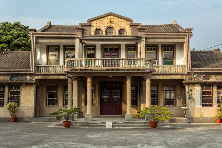
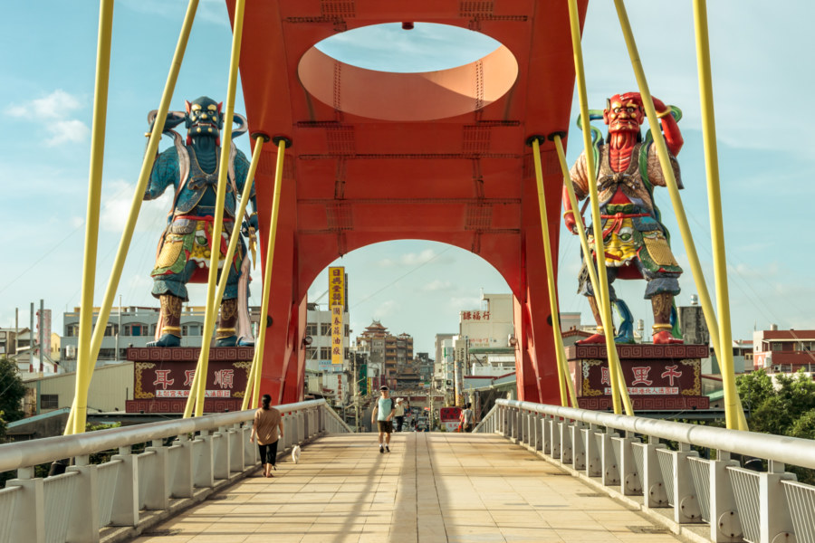
Beigang is a historic town on the riverside border between Yunlin and Chiayi in southern Taiwan. I made a brief, unplanned stopover in Beigang while riding north to Changhua in the summer of 2014. I was only vaguely aware of Beigang’s existence, having at some point read something about Cháotiān Temple 朝天宫, one of Taiwan’s most famous Mazu 媽祖 temples, but I had a hunch that there might be more to see—and I was right! If you enjoy visiting traditional towns with a lot of history then Beigang should definitely be on your list.

Huang Sanyuan Residence 黃三元故居

A mansion in rural Puxin Township

Huáng Sānyuán Residence (黃三元故居) is a beautiful Western-style house located along a country road in Puxin, a rural township in the heart of Changhua, Taiwan. It was built in 1940 by Huáng Yì 黃義, a wealthy employee (and presumably an executive) of the Japanese colonial era Taiwan Sugar Company (台糖公司). If this government source is to be believed Huang Yi had five wives who bore him five sons—and some unknown number of daughters. No wonder he needed such a large house!

Caotun Night Market 草屯夜市

Inside Caotun Tourist Night Market

Tonight I visited one of the biggest night markets in Nantou, the Cǎoxiédūn Tourist Night Market 草鞋墩人文觀光夜市 in Caotun. Located at the north end of town, the sprawling open air Caotun Night Market offers a somewhat unusual twist on the Taiwanese night market formula of meals, snacks, drinks, cheap goods, clothing and accessories, and fairground games. I have now visited more than a dozen night markets in this area of Taiwan and this one definitely stands out.

Postcards From Changhua City 1 彰化市明信片一號

The floral alleys of Changhua City

I moved to Changhua City in November 2014 to see what it’s like living in a traditional town in central Taiwan. I had an interesting time staying in Tainan for three months earlier that year so I figured why not give Changhua a shot for the wintertime? Changhua is nowhere near as lively and interesting as Taiwan’s old southern capital but it is not without charm. Here I have gathered up some of the more representative images I captured during my first two months of residency, mostly of the area immediately to the east of the train station, which also happens to be the oldest part of town. Explanations are given in the caption of each photo, where available.

Dayeh Futian Temple 大葉福天宮

Remains of a mountaintop temple in Changhua

High on the upper slopes of the modest Bagua Mountain Range 八卦山脈 (pinyin: Bāguàshānmài) overlooking Dayeh University (pinyin: Dàyè), on the border between Changhua and Nantou in Taiwan, stands a strange half-abandoned temple. It is peculiar in that temples are almost never left to the elements the way this one has been. Abandoned buildings are commonplace in this land of abundant ruins—but even the most obscure temples receive regular maintenance in the form of incense and offerings, among other things. To neglect the gods and spirits is to curse a place with tremendously bad luck and misfortune. Temples may be formally decommissioned, dismantled, and destroyed—but they are almost never simply abandoned or left to decay like this. What’s going on here?

Postcards From Wenshan District 文山區明信片

Taipei from Xianyan temple in Wenshan district

Last year, near the end of 2013, I had the good fortune to move to Wenshan, the southernmost part of Taipei. In late September I was nearing the end of my first round-the-island bicycle tour and put a call out on Facebook asking if anyone knew of a place I could stay for a month or so. That call was answered—and I ended up staying with a couple of cool European guys for six months before heading south to Tainan in April 2014.

GeoGuessr Sighting

My work in Geoguessr

One of my photos in a popular web game.

GeoGuessr is a web game based on Google Maps. Each round deposits you into some random location leaving you to puzzle out where you are by clicking around and examining what you find in the area. When it’s time to make a guess you pick a point on a map and you’re scored for distance. It’s a lot of fun for geography geeks like myself.

One of their games is Taiwan, which is how I initially found out about it. After playing a round I glanced at the thumbnail and thought, hmm, that looks awfully familiar. Sure enough, it’s one of my photos from Tainan! Not bad, though I can’t help but notice they failed to credit me in any way, which means I have an email to write… after the next game. High score: 23,744!…

Nantou’s Misty Lotus Forest 忘憂森林

Misty lake, lotus forest

Collected here are a series of dreamlike photos from a road trip into the misty mountains of Lugu in Nantou, central Taiwan. I undertook this trip with a friend in July 2014. Our goal was the Lotus Forest 忘憂森林 (pinyin: Wàngyōu Sēnlín), also known as the Misty Forest 迷霧森林, a high mountain bog formed in the aftermath of the catastrophic 921 earthquake when a landslide altered drainage patterns, forming a small lake and drowning part of the existing forest. At an elevation somewhere close to 2,000 meters, the Lotus Forest is often shrouded in thick fog, imbuing it with an eerie mystique that attracts Taiwanese people from all over the island.

100-Year-Old Bomb Shelter 百年防空洞

A secret passageway in Keelung

I found myself in the seedy port town of Keelung near the end of my round-the-island bicycle tour of Taiwan in 2013. Later on, after dinner was done, I went out wandering the labyrinth of night—and, on the far side of the railway line near Sānkēng Station 三坑車站 I noticed the entrance to a tunnel running beneath the hillside. Curious, I hunched down (the clearance is only around 175 cm) and made my way through. A minute later I emerged on the other side, somewhat disoriented, though I quickly regained my bearings.