Nantou Road Trip 2015: Sun Moon Lake to Taichung

Xinyi Township Mountain Vista

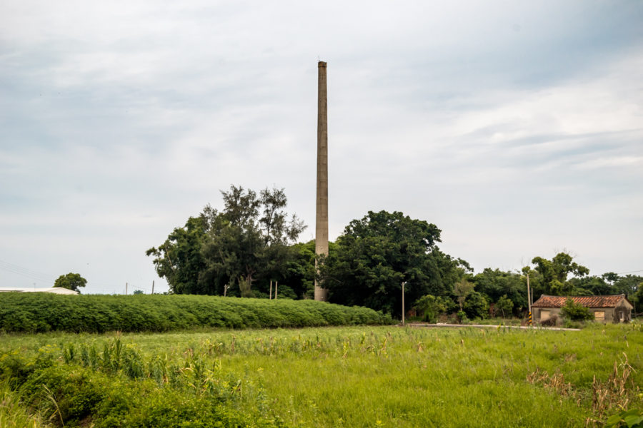
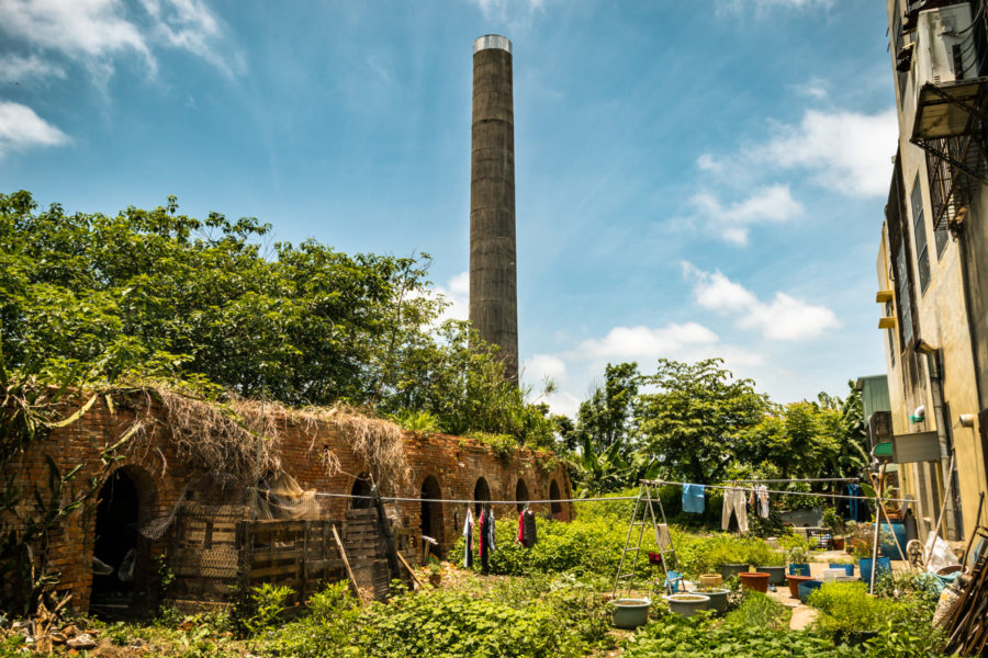
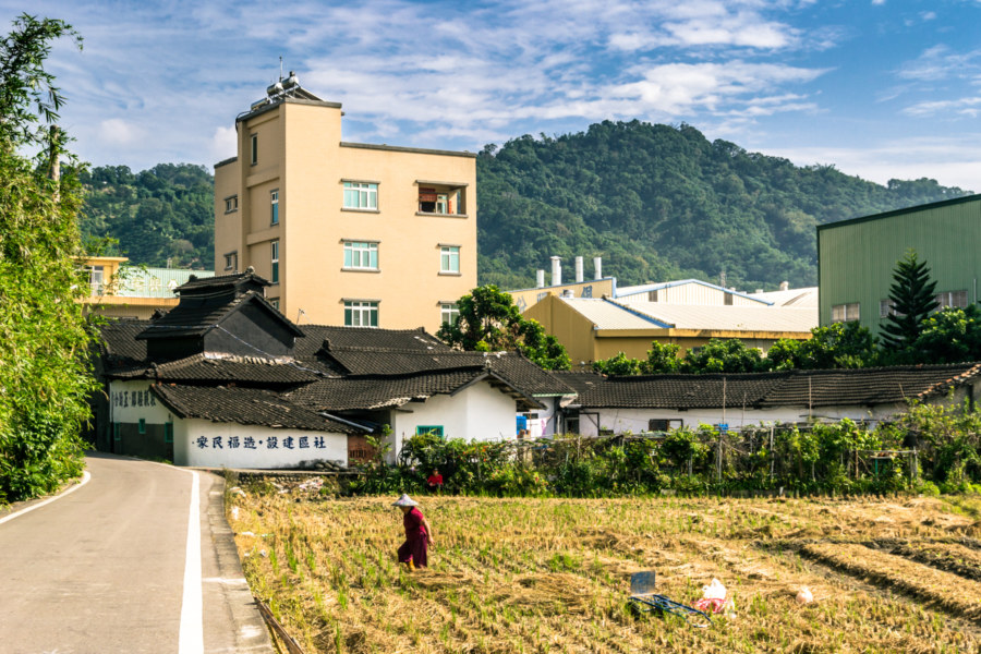
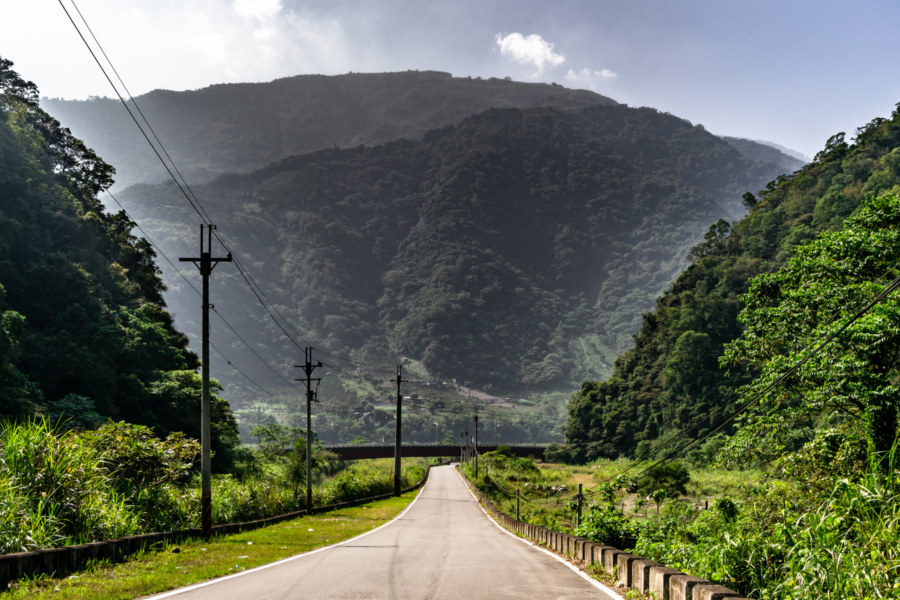
This post is the final entry in a series documenting several days of riding around Nantou in October 2015. On the last morning of this trip I woke in Puli, close to the geographic center of Taiwan. I only had to return the scooter to the rental shop in Taichung sometime after nightfall so I decided to take a more circuitous route and check out many sights along the way. After a quick breakfast I headed south, briefly stopping by the shores of the majestic Sun Moon Lake (日月潭, covered in the previous entry in this series), and ascended a winding mountain access road leading into Xinyi, one of several majority Taiwanese Indigenous districts in this landlocked county.

Nantou Road Trip 2015: Puli

An Old Entertainment Complex in Puli

Puli was my home base for several days of road tripping and adventure around Nantou in October 2015. Recently I decided to publish my findings and impressions from this trip despite not knowing much about what I was seeing at that time. Most of the other posts in this series document trips from one place to another but in this post I’m focusing on some of what I found within city limits, starting with some history to put everything in context.

Nantou Road Trip 2015: Taichung to Puli

Pinglin Bridge, Nantou County

In October 2015 I set out from Taichung to attend a music festival in Nantou, the landlocked county in the mountainous interior of Taiwan. Since I don’t often have an opportunity to ride a scooter I allocated some extra time for onward exploration and ended up visiting many interesting and wonderful places, many of them quite obscure. What follows is the first part of a mostly visual record of this road trip around the geographic center of Taiwan…

Postcards From Ershui 二水明信片

Ershui Zheng Ding House 鄭鼎宅

Ershui is a rural township located in the southeastern corner of Changhua, bordering Yunlin and Nantou. Ershui Station 二水車站, constructed in 1935, is the primary point of transfer between the Main Line 縱貫線 of the Taiwan Railway Administration (TRA) and the Jiji Line 集集線, a tourist railway leading into the interior. Ershui, which literally means “two water”, is named after the Bābǎo Canal 八堡圳, an extensive system of artificial waterways still responsible for irrigating much of the Changhua Plain 彰化平原 three centuries after it was devised. During the Japanese colonial era this small town prospered as a center of woodworking while farmers in the countryside cultivated bananas, grapes, guava, and tobacco, among other crops. Nowadays it is mainly known as a sleepy stopover on the way to parts beyond—but a closer look will reveal several points of interest for anyone curious about Taiwanese history, architecture, and vintage style.

Xiluo Bridge 西螺大橋

The North End of Xiluo Bridge

Xiluo Bridge (西螺大橋) spans the mighty Zhuóshuǐ River (濁水溪), the unofficial boundary between north and south Taiwan, connecting the counties of Changhua and Yunlin. Construction began in 1937 under Japanese colonial rule but came to a halt after the attack on Pearl Harbor as the allotted steel was needed for the war effort. In 1952 the bridge was completed under the incoming Chinese Nationalist government with American steel and financial aid. At 1,939 meters in length it was one of the longest bridges in the world when it was finished—second only to the Golden Gate Bridge at that time—and became such a source of national pride that it appeared on Taiwanese bank notes (specifically 第一套橫式新臺幣) and stamps in the 1960s. Originally it was equipped with sugar railway tracks but these have been removed and nowadays only light road traffic is permitted to cross the bridge.

Shuangxikou Brick Kiln 雙溪口磚窯

The Tall Chimney of the Shuangxikou Brick Kiln

Recently I wrote about the Liùjiǎo Brick Kiln 六腳磚窯, an obscure abandonment in rural Chiayi, Taiwan. While attempting to find out more about that kiln I found a reference to a second abandoned kiln in the area, the Shuāngxīkǒu Brick Kiln 雙溪口磚窯, informally named after the closest village in neighboring Puzi. Weeks after visiting the first kiln I returned to scope out the second and—insofar as I can tell—only other remaining brick kiln in this expanse of the Chianan Plain 嘉南平原. It was a hazy, grey day out there so these photos aren’t nearly as nice as those of the other kiln, but in the interest of adding a little something to the historic record I’m sharing them here anyway.

Liujiao Brick Kiln 六腳磚窯

A Brick Kiln in the Backyard

Liùjiǎo Brick Kiln 六腳磚窯 was an unexpected discovery while riding from Beigang to Puzi earlier this summer. The chimney is plainly visible from the roadside and the crumbling bulk of the kiln can be discerned in a gap between the row of houses out front. Stopping to take a closer look I went around (and through) the old kiln to document what remains. Liujiao is a rather obscure part of rural Chiayi so I’ve not found any mention of this place online apart from this brief post. Whereas several kilns in various other parts of Taiwan are being preserved this obscure ruin is almost certainly never going to be the object of a conservation effort.

Fenyuan Town Hall 芬園庄役場

Fenyuan Town Hall 芬園庄役場

Fenyuan Town Hall (芬園庄役場) is another example of neglected Japanese colonial era architecture in Taiwan. Built in 1935, this modest building was the administrative center of the village of Fenyuan, located on the eastern edge of Changhua back when it was part of Taichū Prefecture (臺中州). It survived the war and remained in use until 1994 when a newer town hall was built down the street. Art Deco flourishes and the rust-colored emblem over the entrance give Fenyuan’s old town hall a distinctive look. Nowadays it is derelict—but it seems likely that it will be restored and opened to the public some day.

Postcards From Badouzi 八斗子明信片

Sundown over the coast of Badouzi

Near the end of my first summer in Taiwan I visited Bādǒuzi (八斗子), a rocky headland, coastal park, and major fishing port at the far eastern edge of Keelung. I went there on impulse, not knowing what to expect, just to see what was out there. Google Maps and Taiwan’s excellent public transit system make random explorations like this almost effortless: pick a point of interest and follow the directions—the digital equivalent of throwing a dart at a map. This post features a selection of retouched photos from this expedition alongside the sort of explanatory text I wouldn’t have been able to write back in 2013. Fair warning for arachnophobes: this post contains several gratuitous photos of giant spiders and other creepy crawlies!

Liancun Tobacco Barn 鎌村菸樓

Rice fields in front of the Liancun Tobacco Barn 鎌村菸樓

Liáncūn Tobacco Barn 鎌村菸樓 is a historic building on the agrarian outskirts of Fengyuan, Taichung, and one of the last of its kind. Back in the tobacco industry heyday of the 1950s there were more than 100 tobacco barns in this small agricultural community. Almost all the others have been torn down or fallen into grave disrepair over the years but this one remains in surprisingly good condition, a testament to the upkeep of the owners, who still live inside. I haven’t had any luck sourcing credible historic information about this place—it isn’t an officially designated heritage property nor a tourist attraction—but I’d hazard a guess that it is at least 70 years old. I would have asked the old lady in the courtyard but she didn’t seem all that interested in having a chat—though she warmly granted permission to shoot these photographs when asked.