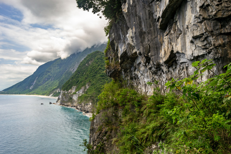
In May 2018 I seized an opportunity to ride the beautiful and dangerous Suhua Highway (蘇花公路) from Hualien City to Su’ao in Yilan. I had previously taken this same route on bicycle back in 2013—a harrowing trip I’ll never forget—so I was eager to drive a scooter and experience it at a different pace. I also visited a number of historic sites along the way, including several former Shinto shrines, as part of an ongoing project documenting various elements of the Japanese colonial legacy in Taiwan. Much of the highway itself also owes something to Japanese engineering, having opened to vehicular traffic in 1931, but it has been continuously repaired and expanded since then.
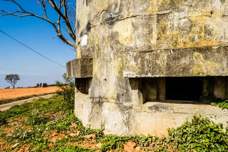
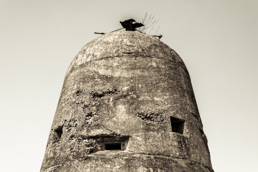
Taiwan is home to thousands of derelict military fortifications, most of them dating back to either the Japanese colonial era or the early Cold War. The Japanese were mostly concerned about defending Taiwan from a possible Allied landing in World War 2 whereas the KMT built fortifications to defend against an invasion from China. Since modern military technology largely made small-scale fortifications obsolete most were abandoned after democratization in the 1990s.
Dadu Plateau Anti-Airborne Fortifications 大肚台地反空降堡
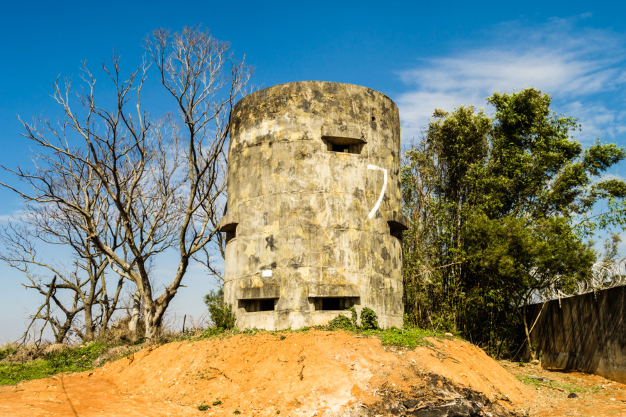
Dàdù Plateau (大肚台地) is a geographic feature of great strategic importance to the defense of central Taiwan. It overlooks the Qīngshuǐ Coastal Plain (清水平原) and occupies high ground on the far edge of the Taichung Basin (台中盆地), home to the majority of the population of Taichung, the third most populous metropolitan area in the nation. The entire length of the plateau is peppered with military facilities from the massive Ching Chuan Kang Air Base (空軍清泉崗基地) in the north to Chénggōng Ridge (成功嶺) down south. In between one will find a number of abandoned or disused bunkers, gun towers, and blockhouses. This post focuses on seven anti-airborne fortifications located in the central part of the plateau starting with the #7 Anti-Airborne Fort (七號反空降堡), my introduction to this cluster of ruins.
Taichung Aerodrome Gun Tower 臺中飛行場機槍堡
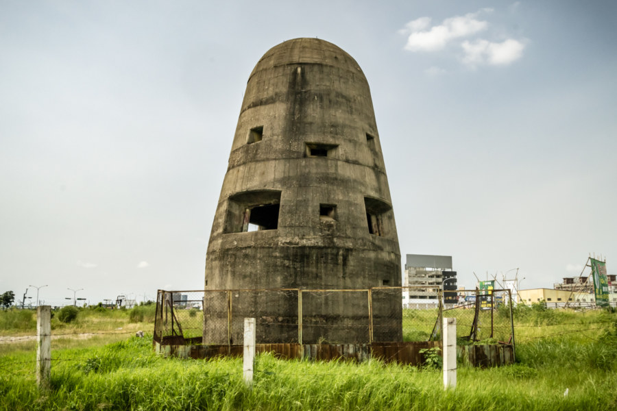
Not much remains of the former Taichū Aerodrome 臺中飛行場, a Japanese colonial era airbase originally built in 1911 on the northwestern periphery of central Taichung. The airbase saw a lot of action in World War II and several kamikaze units were stationed there in the final months of the war. After the arrival of the KMT it was used as a hub for aviation research and development before entering into civilian use in the 1970s as Shuǐnǎn Airport 水湳機場. In 2004 operations were transferred to the nearby Taichung Airport 台中航空站 and, over the following decade, the former Japanese airbase was completely demolished as part of an ongoing city-wide urban renewal plan. The only building spared was a lone gun tower built in 1940, formally designated a historic site in 2006, and officially known as the Former Japanese Army Taichung Aerodrome Gun Tower 原日軍臺中飛行場機槍堡.
Jiahe Railway Tunnel 嘉和遮體
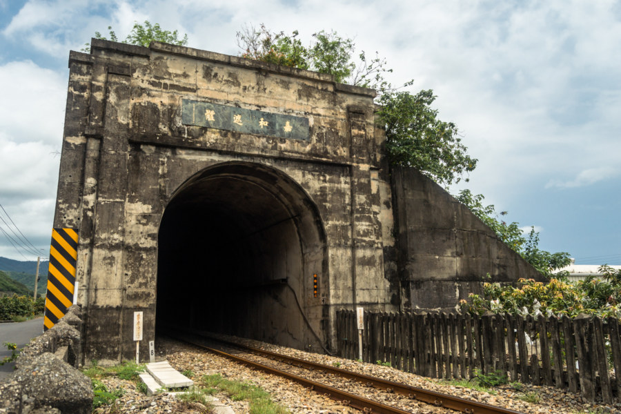
Here is yet another roadside curiosity in the deep south of Taiwan: a false tunnel on the coastal plains of Fangshan, Pingtung. It doesn’t cut through any mountainside nor is it built to withstand landslides. It’s just an 1,180 meter tunnel that trains pass through for no discernible reason. I first read about this on Michael Turton’s blog and later saw it on my first round-the-island bicycle tour. More recently I took a spin around the southern loop once more, and spent a little extra time examining this concrete oddity in an attempt to divine its purpose.
Xinpi Machine Gun Fort 新埤反空降機槍碉堡
While cycling through Xinpi, an otherwise ordinary expanse of rural Pingtung, I was surprised to see a sign indicating that there was a “fort” somewhere in the area. I cut loose from the main road I was following and went to go investigate. After following a bend in the river just outside a small settlement I found it: a Japanese anti-aircraft fortification dating back to the late 1930s or early 1940s. I haven’t found a formal name for this fortification so I’m going to call it the Xinpi Machine Gun Tower 新埤反空降機槍碉堡 until I hear of something better.
Changhua Aerodrome Fortifications 彰化飛行場古砲台
One of my idle pursuits this mild winter has involved documenting all the obscure and unusual stuff I find in my travels around Changhua. When I go riding I prefer to take winding roads that twist and turn through old villages rather than the newer thoroughfares that directly connect communities in the countryside. Sometimes this pays off—for instance, while exploring some of the side roads on my way to Lukang I found this strange looking building amid the rice fields and rural industrial sprawl.
